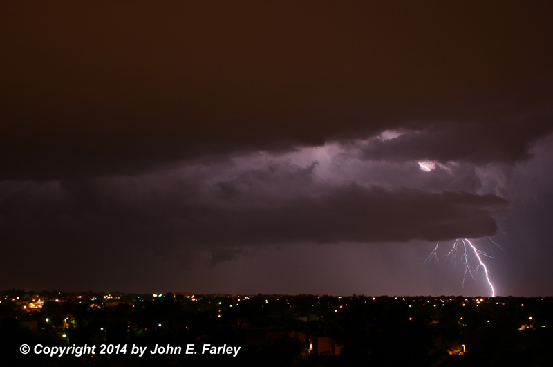
Cloud-to-ground lightning over Santa Fe, NM
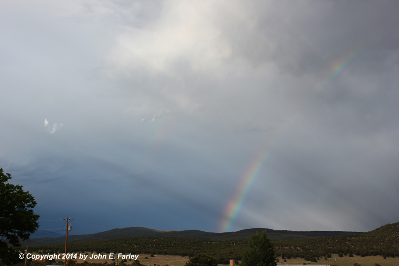
Rainbow and crepuscular rays near Rowe, NM
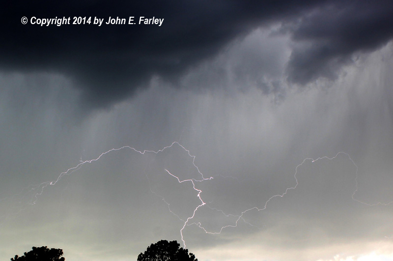
Cloud-to-cloud lightning near Lamy, NM
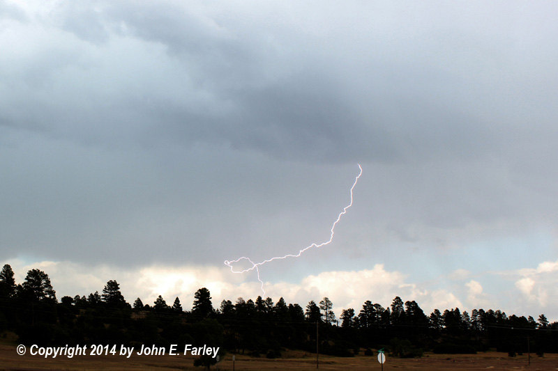
Cloud-to-cloud and cloud-to-ground lightning near Pagosa Springs, CO
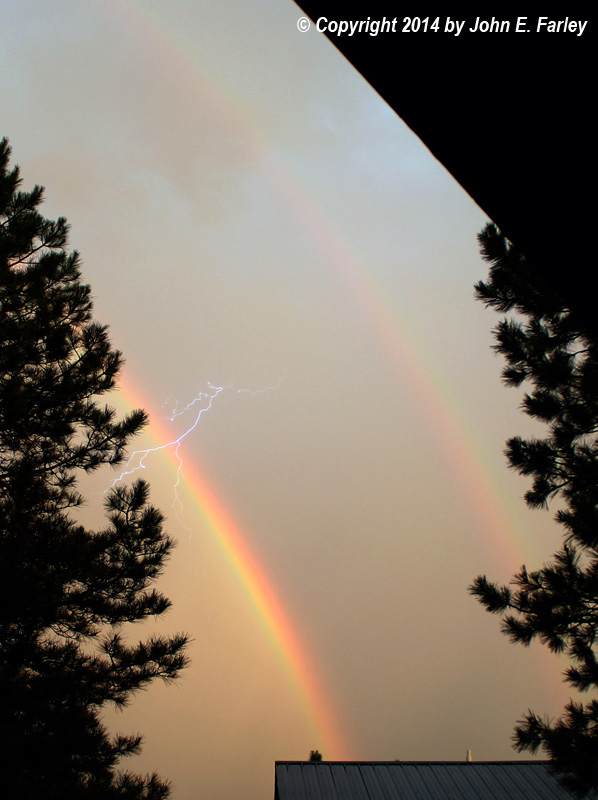
Double rainbow and lightning, Pagosa Springs, CO
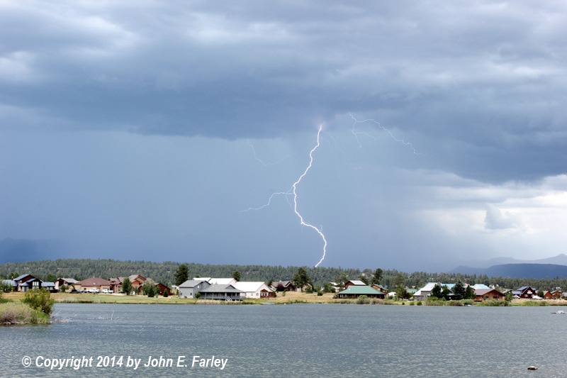
Time to get off Village Lake! (Near Pagosa Springs, CO)
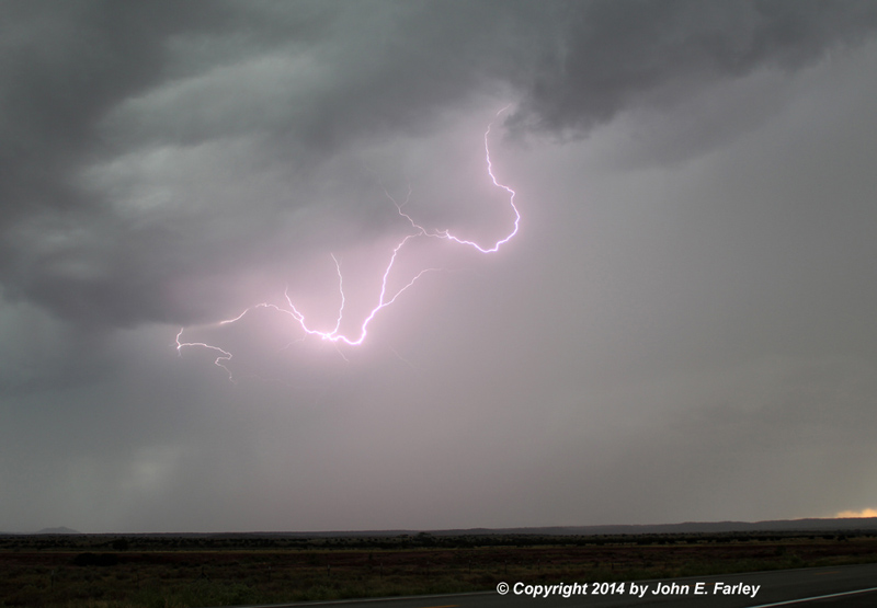
Looped cloud-to-ground lightning, Pagosa Springs, CO
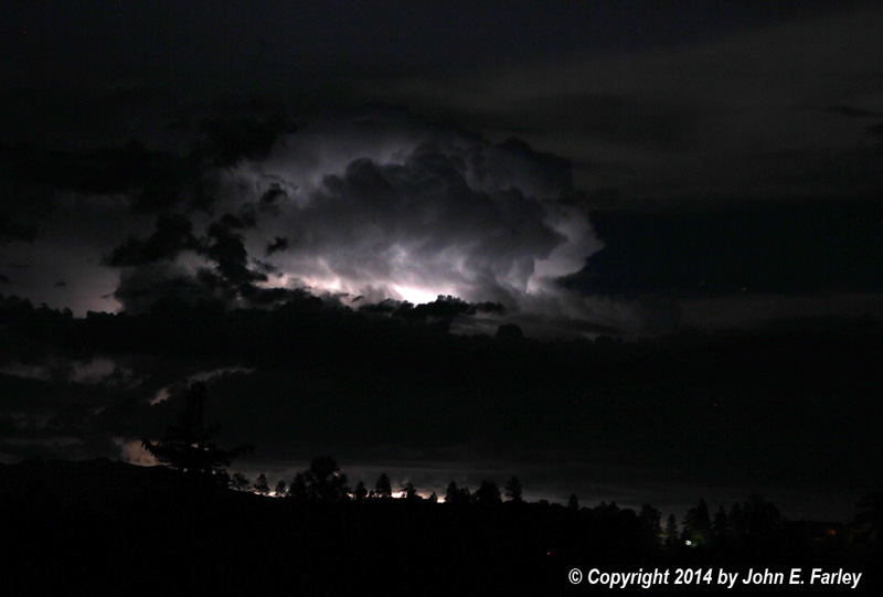
Distant nighttime storm, looking east from Pagosa Springs, CO
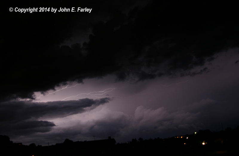
Cloud-to-cloud lightning, looking north from Santa Fe, NM. This storm caused major flash flooding near Pojoaque and La Puebla, NM.
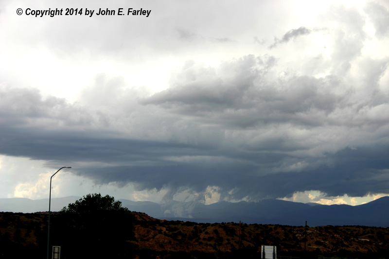
Strong storm developing near Los Alamos, NM. The scud was rising into the storm almost from the ground on the east slopes of the Jemez Mountains.
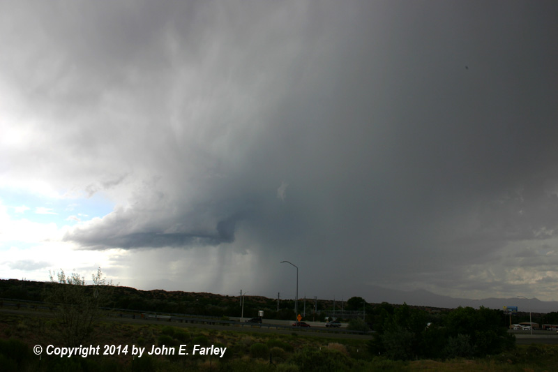
Same storm a few minutes later; briefly took on supercell characteristics.
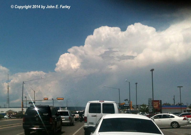
All I had to take a picture with when I saw this supercell storm looking north from Espanola was a phone. But note the wall cloud under the updraft (above the gray car ahead one lane to my left). This storm produced flash flooding near La Madera, NM.