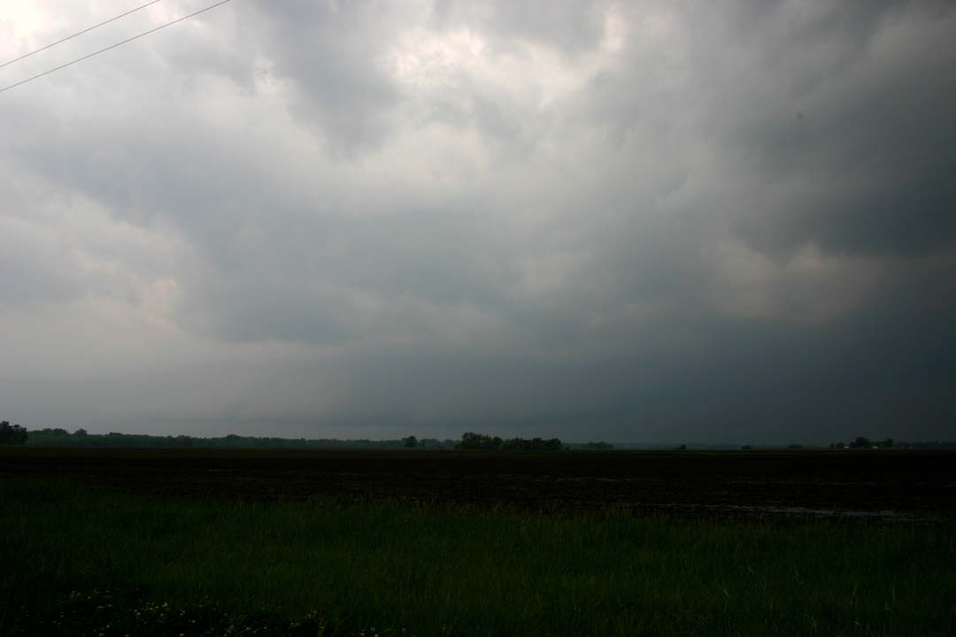
I was hampered in this chase by the closure of the route 41 bridge across the Missouri River north of Marshall, and by my own impatience when I doubled back east a couple exits from where I initially set up to Boonville, where I thought storms were initiating, only to see the stronger storms go up just northwest of where I had been. So I took the curvy, narrow road up to Glasgow and eventually continued through Slater and Marshall to Malta Bend to get on the storm. When I first got on the storm, a little before 6 p.m., it was probably looking the best it would, with a broad, slightly lowered area under the updraft:
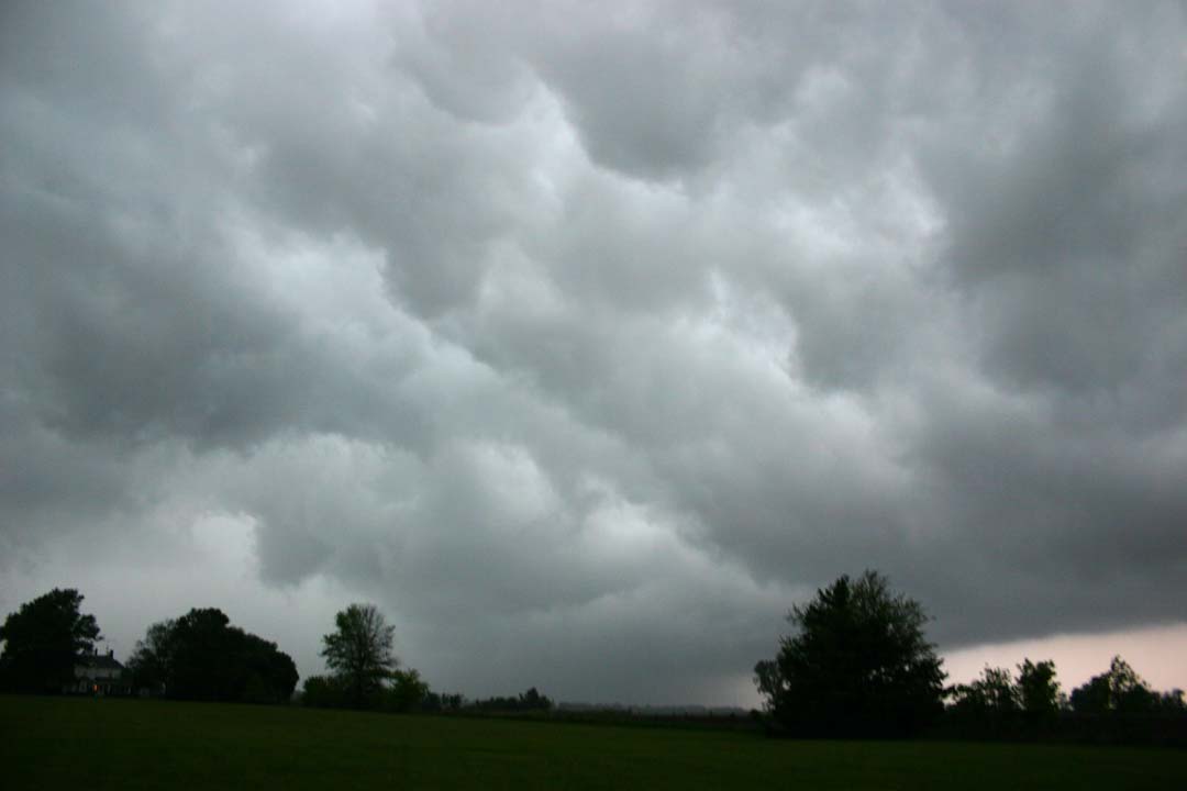
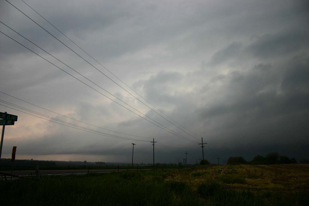
This had quite a bit of lightning under it. At 6 p.m. a special weather statement was issued for 40 mph wind, 3/4 inch hail, and heavy rain in the storm, heading for the Carrolton area. I moved a little west for a closer look, then realized the lowered area was going to move right over me, though I was not too concerned because by then it was taking on a more shelf cloud look. Soon I backtracked east, getting ahead of it again, and turned north between Malta Bend and Marshall figuring I would stairstep with the storm and cross the Missouri River on route 41. But first I got stopped by a train, then I found out that 41 was closed at the river for bridge repair. As I worked my way north, the storm looked very intense up toward Carrolton, with kind of an HP look, though I could not see much. If there was a meso, it was in here, toward the right side of the picture. By the time I found out the bridge was closed and I could follow no further, I could see that a new cell that had formed just south of the earlier one was intensifying, growing, and merging into it. This had already happened once before I was on the storm and happened a total of 3 times, each forming in the area south of Waverly. In the meantime, the core farther north would race off to the NNE at 55 mph, only to be replaced by a new one, with the back edge ultimately staying in the same place from about 5:30 to 7:00. It looked like what was happening was that the storm was backbuilding, with new updrafts going up right on or perhaps just north of the warm front, but then surging NNE at a good clip, only to be replaced with yet another new updraft. Anyway, I doubled back and repeated the same process around 6:45 that I had earlier, making ultimately 2 or 3 trips through Malta Bend in each direction. Only difference, at 6:45, the storm looked even more outflowish than earlier, with the lowered area this time clearly taking on the appearance of a shelf cloud. I did get a decent look at the "whale's mouth" - the underside of the shelf cloud on its side toward the storm - as I passed back under the shelf cloud to get ahead of the storm and head east again.
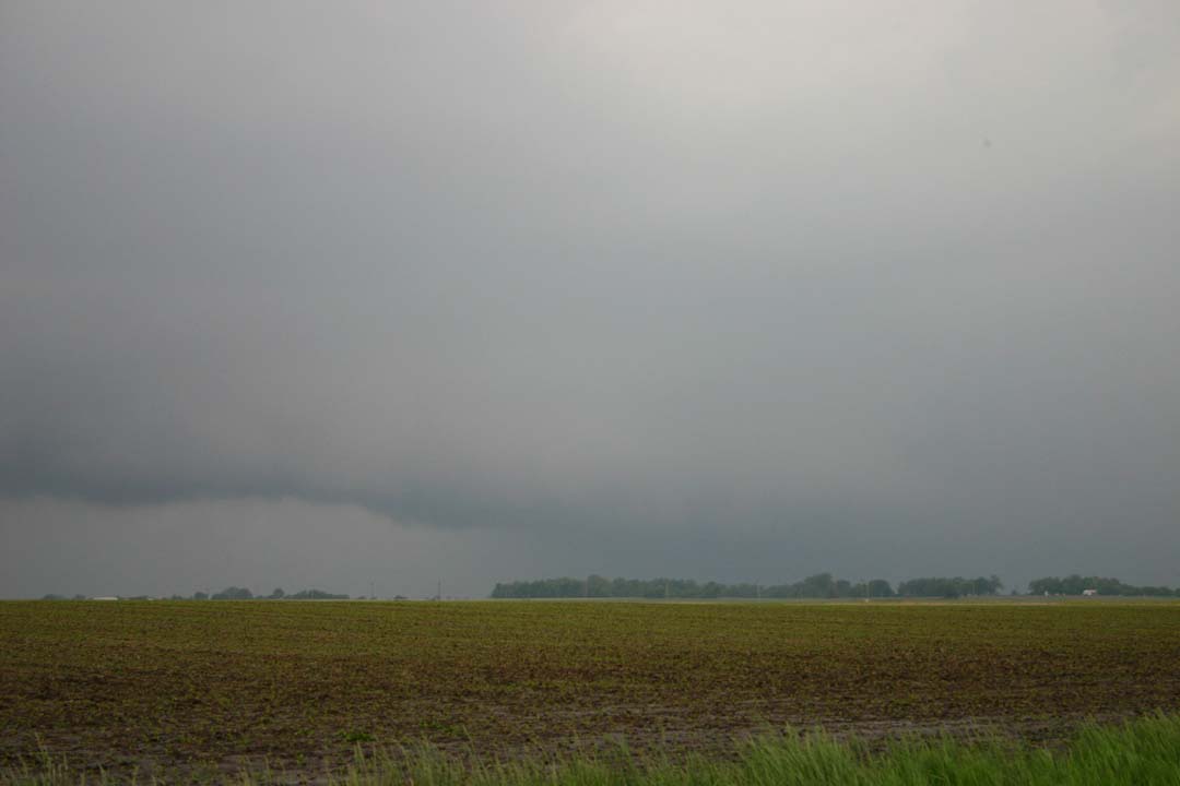
This time the track was a little farther east, so I could go a little more east then up to Slater on route 240 and maintain visual on the storm, which still looked intense and got a second special weather statement for wind to 50 mph and torrential rain. I did see a LSR for 3/4 inch hail well up in the core to my northwest. I went as far as Glasgow and considered pursuing the storm north from there, but it would be getting dark soon, the storm did not look that impressive, I wasn't sure any more that I could catch up, and trying would have taken me farther from home. So I broke off at 7:30, about the time of the above-noted hail report.
Eventually after I broke off from it around 7:30, it got its act together a little more and got a tornado warning (but no tornado) after dark around 9, and the hail size up into the Keokuk, IA area increased to 1.5" from half that when I broke off. But mostly it was a huge rain producer, generating flood advisories and warnings up from Carrol Co. through the NE corner of MO where it dumped 4 inches of rain, and on into southeast Iowa and northwest Illiois. If only it had formed south of the warm front and moved across, I think the results would have been more impressive. It was a very sharp front, stalled out near I-70 for a long time. At one point you could actually see a difference in the wind direction north and south of the freeway, and when I turned northwest from Booneville to go after the storm, I got a 7 degree temperature drop in about 10 miles - not encouraging when the storm is to the northwest! At one point there was a 30-degree temperature difference between COU and IRK, a difference of about 100 miles.
Total chase distance: approximately 515 miles.
Return to 2010 Severe Weather Observation page