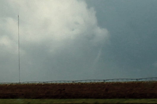
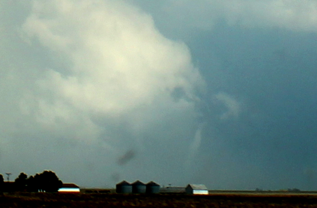
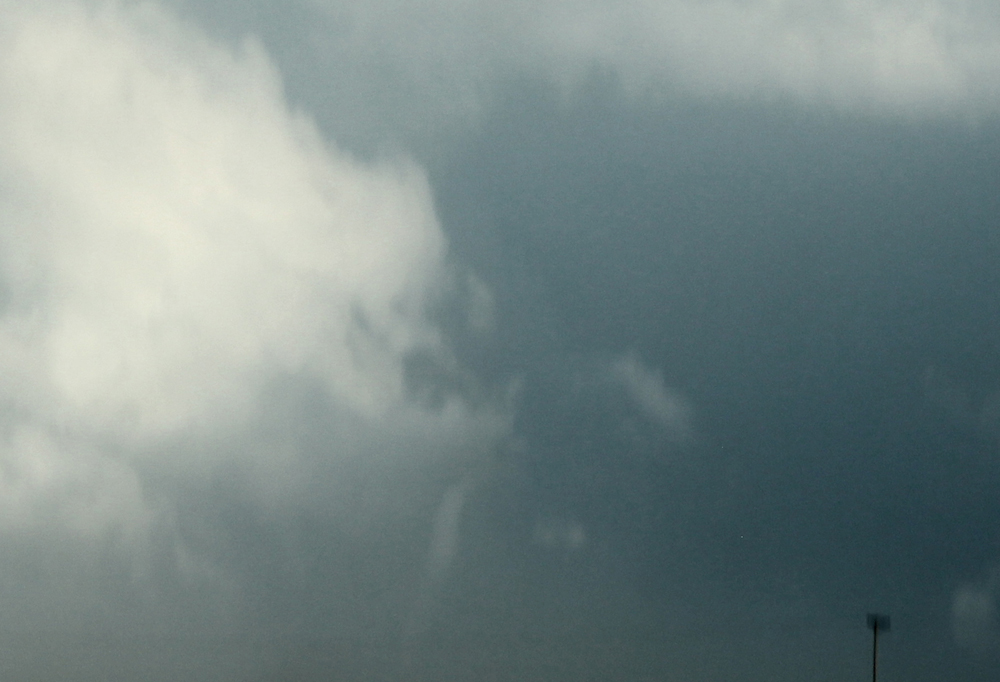
I started the day in Amarillo. The dryline would again be hanging out in the western part of the TX Panhandle, with a large area of unstable air in the warm sector east of the dryline. Since the best instability was predicted somewhat to the south, I initially decidd to target an area somewhere between Tulia and Lubbock, in order to be in the area of best instability but ahead of the dryline so I would not have to play catch-up with the storms. Hung out in Tulia for a while and chatted with various chasers including a group from Virginia Tech. Models were showing a large area of convection to develop to the northeast of that location during the afternoon, near or just east of the Caprock. This would be in an area of good instability with some wind shear, so severe weather would be possible. However, the chances seemed to be better if storms were to develop near the dryline, because of the forcing that feature would provide. And most of the models did show at least isolated storms developing there, too. I decided to nudge a little farther south to Plainview, but that did not last for long. All the convection was farther north. WAY north of Amarillo along the dryline, but the Caprock storms were farther north, too. So I went back up to Tulia and hung out a little longer, hoping for some dryline storms. Eventually, I decided I could not wait too much longer. The storms to the northeast were isolated and severe, and little was happening on the dryline except way north. So, I decided to head up to Amarillo. If decent dryline storms formed by then, I would go after them; otherwise I would head east on I-40 or U.S. 287 to intercept the ongoing storms to the east. Nothing but a few turkey towers that quickly sheared apart went up along the dryline anywhere near I-40, with severe storms only much farther north. So I decided to blast east on 287 to try to intercept the eastern storms, which were now starting to go tornado-warned near Clarendon. If I had stayed on 287 I probably would have seen the entire life of the Howardwick tornado, but instead I decided to cut north to I-40 - a bad mistake I made due to overestimating the storms movement. The motion indicator on the radar and the warnings seemed to indicate the storm was moving northeast toward I-40, and I did not want to be playing catch-up from behind the storm. Instead, it remained pretty much stationary, and dropped a tornado that remained narely stationary for 9 minutes, moving only a mile in that amount of time. As it turned out I saw the last minute or so of the ropeout, but from 15 miles away through the windshield on I-40 is by far not the ideal way to photograph a tornado. Oh well, at least I saw it - for a minute or so. I was near or just west of Groom looking SE when I saw the tornado's ropeout. Here are a couple more pictures:
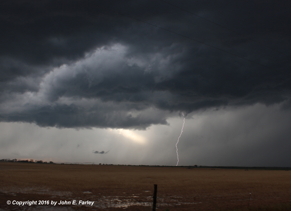
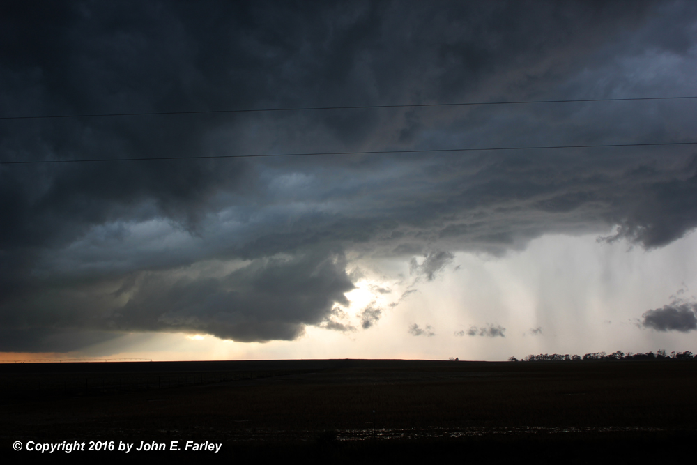
With the storm that had produced this tornado being absorbed into what was rapidly becoming a messy MCS and the new warnings coming from storms around Clarendon and to the southeast of there, I knew I needed to get south, but doing so without going into a core would be important, with reports of 2+ inch hail coming in. I headed south from just W of Groom after thinking better of a route south a few miles east of there. When I got back to 287, I made a few stops W of Clarendon and observed some weak cloud-base rotation. I needed to get south on route 70 to get to the best storms, now near Memphis and at times TOR-warned. But I could not go into town until the intense core, with large hail, moved beyond Clarendon. Good decision, since hail as large as 2.5" was reported in Clarendon around 6:30. When I finally did get into town there was flooding everywhere, with running water entirely covering many of the streets. Also lots of leaves and small branches that had been stripped by the hail. But now there was not much hail indicated on the radar, and I thought if I punched south through the heavy rain I could get to where I could see the best part of the storm. I drove quite a way in blinding rain driven by a strong east or NE wind, but finally got out of the precipitation and was able to see some storm structure, as shown in the pictures below:
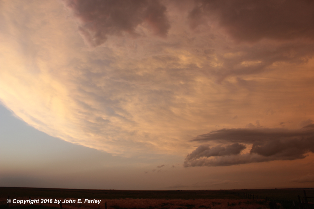
However, new storms were rapidly expanding just to my south and SW, and it almost felt like I was in the eye of a hurricane, as I had intense storms now in nearly every direction. And now only intermittent radar as well. And indeed this chase day felt a little like chasing hurricanes, as I was again soon back in the wind and rain as the southern storm moved over me and I decided I had no option but to punch through it, since going back north would put me in hail as that storm - the one in the pictures just above - was again SVR warned. Now the rain was so intense that the visibility at times was no more than 50 feet, and I would estimate the E/NE wind was at least 40-50 mph, quite possibly more. After driving through several miles of this, I gradually got to where the rain was lighter, and then headed west to Tulia to find a place for the night. Eventually I got out of the storm completely and by sunset was driving under sunlit anvil, which had become backsheared all the way west to I-27 and beyond.
A public information statement from the Amarillo National Weather Service describing the Howardwick tornado (the one I saw briefly was Tornado 1, rated EF-1) can be seen here.
Return to 2016 Severe Weather Observation page