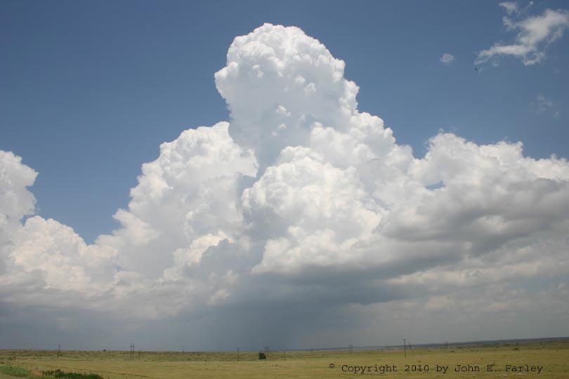
Early in the afternoon, I noticed a storm forming along this boundary, in addition to the ones farther northeast along the front. I did not want to chase all the way to the northeast part of the Panhandle, but thought that if the storm along the boundary moved up near the "triple point" of the front and the boundary, it might encounter some enhanced dynamics that might make it a storm worth paying attention to, and it was not far from my location in Amarillo. As I headed up toward the storm, it continued to intensify as it drifted slowly NE; soon other storms formed just to its west along the cold front and those moved a little faster in a more ENE direction. A storm merger appeared likely near the triple point. In this picture, the main storm you see is the one that went up on the boundary extending southeastward from the front, but on the left side of the picture you can see the other storms going up along the front:
This picture was taken from just south of Borger looking NNE. I decided to go through Borger and on the NE of there on the back roads, getting as close to the storms as I could while staying on the south side of the Canadian River. I did not wish to go on north through Stinnet and chase the storms all the way to the northeast corner of the Panhandle, for the reason noted, and had I tried, I would have probably been either behind the storms or in the core for quite some distance. So I decided to just see what I could see from there. As I watched, the storms along the front, just to my west, really started getting their act together. Since I was almost underneath them, I could look almost straight up at the blossoming tail-end updraft:
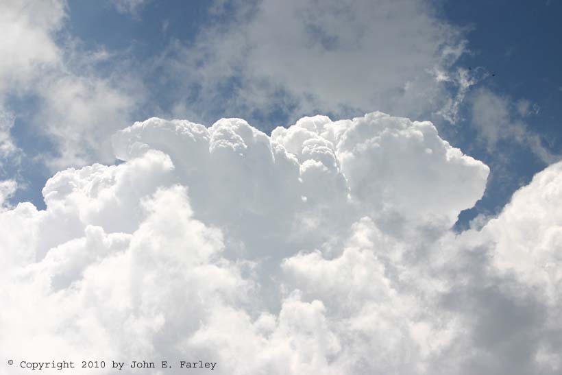
I was close enough to see very well the strong upward motion in the top of the updraft; here is a short video clip that shows this upward, blossoming motion:
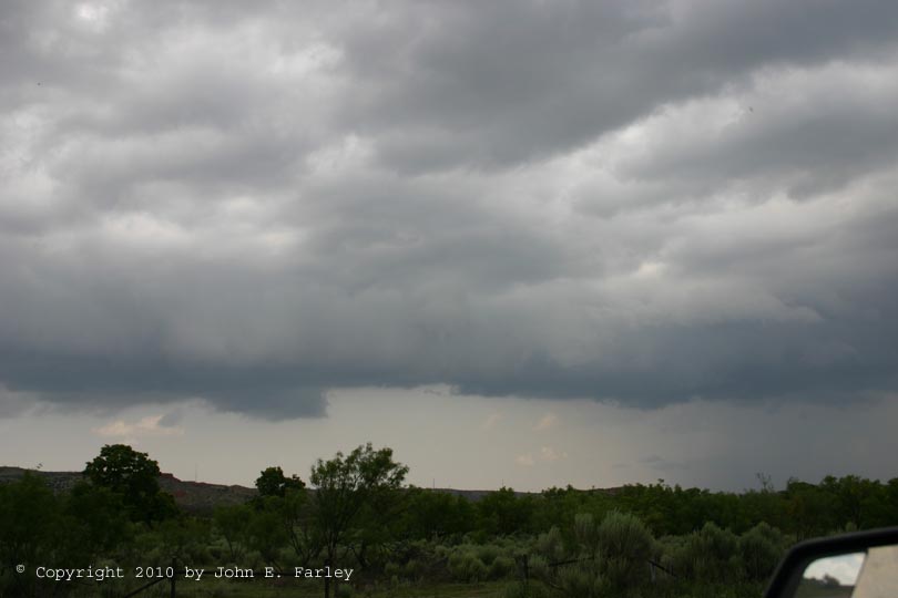
At this point, this new storm was just to my northwest, a bit north of Borger, with the updraft just to my west, right over Borger. This storm was along the front; the other one on the boundary ahead of the front was a few miles to my northeast. The storm to the west, along the front, made a few attempts at small wall clouds, though I knew the storm needed some additional time to really get its act together:
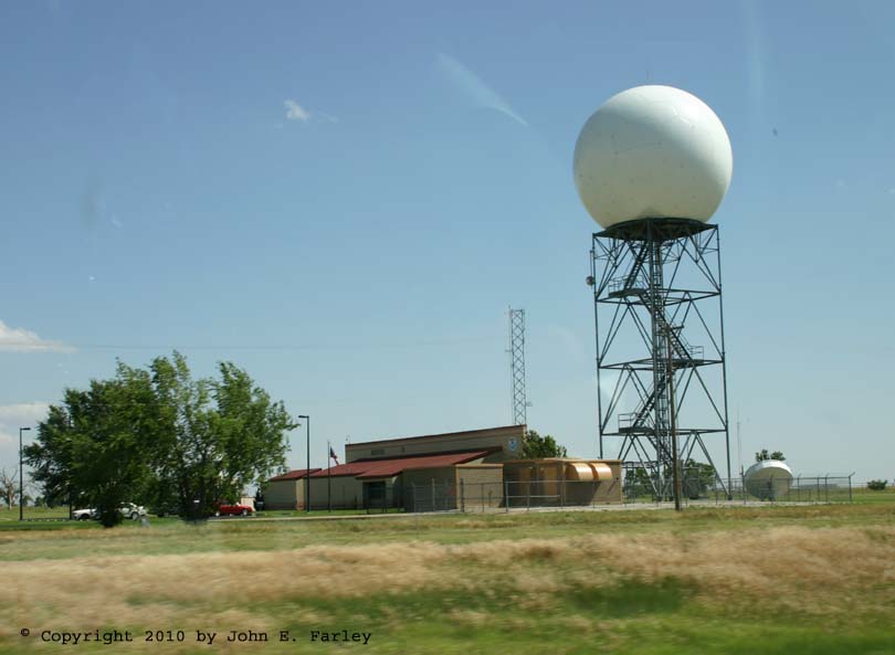
Up to this point, with these storms at the tail end, the storms along the front farther to my northeast looked quite linear and somewhat HP-ish - actually more so in both regards than the previous day's storms in this area. I knew that the potential existed for the storms to get their act together eventually farther to the northeast - but if it happened, it would not happen quickly. So, I broke off around 4 p.m. and headed back toward Amarillo to get on I-40 and head back to Santa Fe. When the merger was complete, the storm did look quite good visually and on radar, and within an hour or so after I left it, did get a SVR warning. Eventually it did produce a brief tornado up in the northeast corner of the Panhandle, but as I understand it this tornado was both short-lived an rain-wrapped, similar to ones that occurred on other storms farther up the line in OK. Given that it would have taken several hours more of chasing to see these and my desire to get back to Santa Fe at a reasonable hour, I do not regret letting these storms go. Driving back toward Amarillo, I passed the AMA NWs office and NEXRAD for the fifth time this trip, and this time I decided to snap a few pics - here is the best one:
Strangely, although the front was surging toward Amarillo and Borger - it was literally a mile or two northwest of Borger when I got on these storms - the surge stopped around 3 or 4 p.m., with the front not reaching either Borger or Amarillo by the time I returned back through. In fact, the part of the front in the western Panhandle and in NM had by now begun returning back north as a warm front, and I never crossed the front until somewhere between Santa Rosa and Clines Corners, NM. Borger, Amarillo, Tucumcari, and Santa Rosa were all in the mid-90s with southerly to southwesterly winds when I passed through them on the return trip, while in Clines Corners and Santa Fe, the temperature was in the low 70s (very rare this month during the afternoon!) with wind from the north or northeast.
Total chase distance for the day (including the drive back to Santa Fe): 482 miles.
Total 2-day chase trip mileage: 1031 miles.