Wolf Creek Pass, CO Storm Chase, July 11, 2012
by John Farley
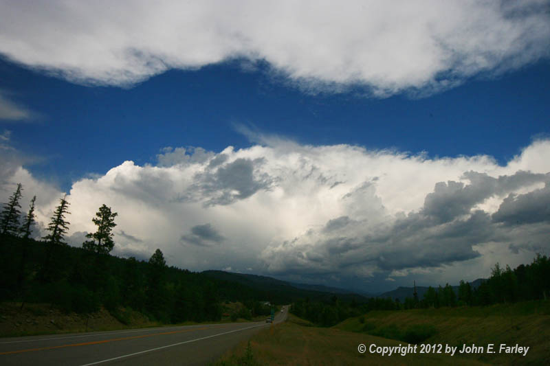
I noticed some good-looking storms just over the mountains around Wolf Creek Pass (northeast of Pagosa Springs, CO) the afternoon of Wednesday, July 11 - so I decided to head up toward the pass to investigate, mainly hoping to get some lightning pictures. Didn't realize until later that the storm actually was severe-warned and produced 1-inch hail in South Fork, the first town on the other side of the pass. Caught some good storm structure, managed to get pics of a couple flashes of lightning, and encountered torrential rain and copious amounts of small hail from the summit of the pass back down to around Treasure Falls. Here are a few pictures:
Looking northeast toward the storm, shortly after the SVR warning was issued and a few minutes after the storm produced 1-inch hail in South Fork
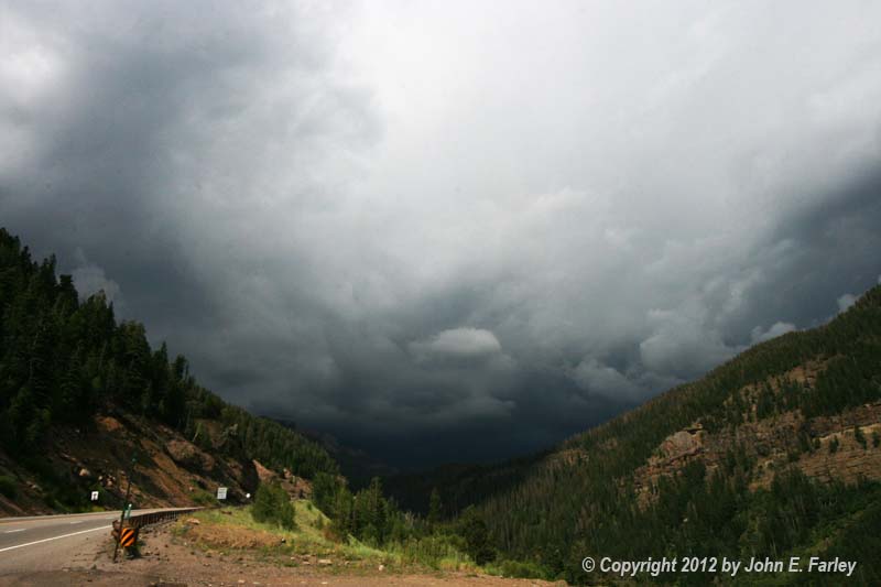
Looking nasty up in the pass. There were a lot of terrified tourists.
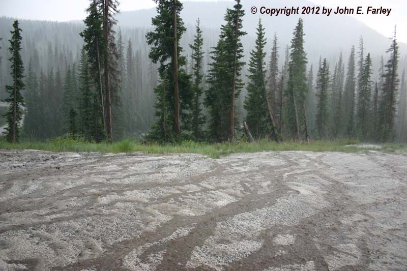
Hail accumulation on turnout 2 or 3 miles SW of the summit.
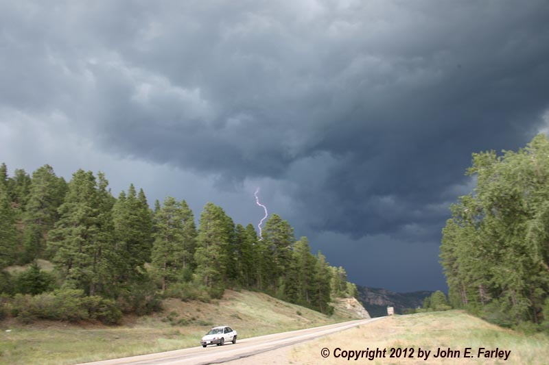
CG (cloud-to-ground) lightning, looking northeast from about midway between Pagosa Springs and Wolf Creek Pass, as the storm surged southwest into the valley.