Snowstorm, Sangre de Cristo Mountains, NM, February 10, 2009
by John Farley
On February 10, 2 days after the thundersnow event described in the previous post, another, colder, storm system moved through northern New Mexico. I was hoping for a powder day on the ski slopes, but after a brief period of snow early in the morning produced under an inch in Santa Fe, my hopes were not real high. But as I drove up into the mountains, I realized it had snowed up there more than I thought and much more than in town, with amounts ranging from around 5 inches at the bottom of Ski Santa Fe up to around 10 inches at the top, just above 12,000 feet above sea level. As the snow temporarily stopped around 10:30 a.m., I got a couple pictures of the "snow ghosts" near the top of the ski area - trees that take on a ghost-like appearance as snow adheres to the rime ice that forms on the trees due to freezing fog:
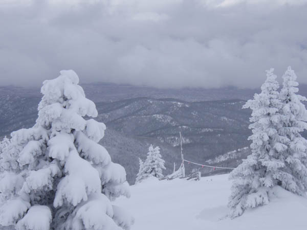
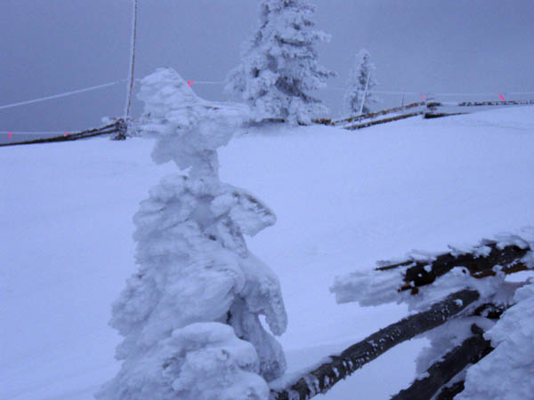
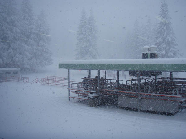
In the first picture above, you can also see a line of cumulus clouds developing over the Rio Grande valley, well below the ski area. Orographic lifting (surface wind being forced up the side of the mountain), along with the low-pressure environment of the storm system, led these clouds to develop rapidly. By an hour or so after I took these pictures, the entire ski area was enshrouded in dense fog, and in about another hour, heavy snow broke out again. From 1:30 on through the rest of the afternoon, snow fell at the rate of 2 inches per hour:
By the time the ski are closed for the day, the mid-mountain snow accumulation was 14 inches, and the snow continued on the mountain well into the evening, resulting in a total storm accumulation of 22 inches by the next morning. The result was that I skied fresh powder all day, and got some good pictures, too. Interestingly, there never was any additional measurable snow down in the valley in Santa Fe after the inch or less that fell early in the morning.