June 10, 2009 Storms and Lightning Display
by John Farley
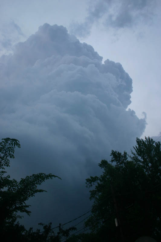
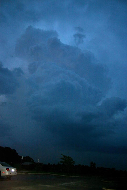
Although tornado watches were in effect for the Missouri part of the St. Louis area until 1:00 a.m. and the Illinois part until 3:00 a.m., relatively little severe weather occurred on June 10. There was decent instability and some diretional shear, and a slow-moving warm front and some old outflow boundaries from earlier storms provided the focus for storm development. But the wind shear was relatively weak, and the high amount of moisture in the air led to numerous storms rather than one dominant one, so that many storms were rather quickly weakened by other nearby storms. An isolated storm developed right over Edwardsville around dinnertime, and slowly drifted east and intensified, putting out a fair bit of lightning after a while. When the storm was just a mile or two east of ny house, the updraft was pretty impressive:
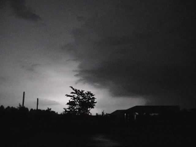
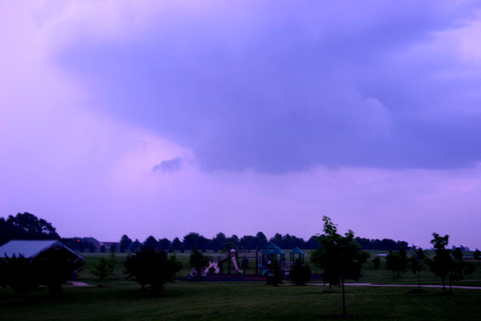
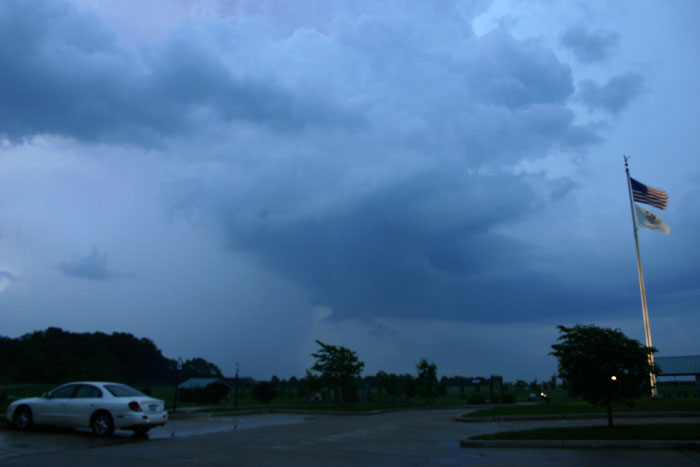
Here is another picture taken 15 or 20 minutes later from nearby Glik Park in Edwardsville. Early on, this storm was quite isolated, and it even tried to form a couple small, brief lowerings under the updraft, like this and this. But a large cluster of storms soon formed to the south of this storm in St. Clair County, and these storms seeded the Edwardsville one and caused it to weaken. The storms to the south and west soon led to SVR warnings for virtually every county in the St. Louis metropolitan area except Madison, but mostly produced pea-sized hail and very heavy rain.
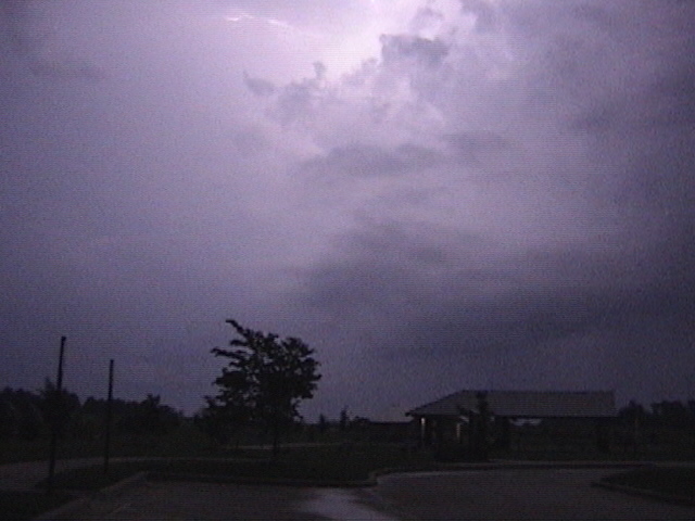
For a variety of reasons, I could not go far from home today, but I did go back to Glik Park for a while to get a good view of the lightning after dark, which was really the most impressive aspect of the storms today. I did not have particularly good luck with either photographing or videotaping the lightning, which was very frequent (several times a second) but mostly in the clouds. Lacking any distant light to use to focus the still camera from my location, I did not get it in very good focus, and a lot of the lightning was not bright enough to show up well on my now rather old video camera. However, I did manage to get a few half-decent video captures:
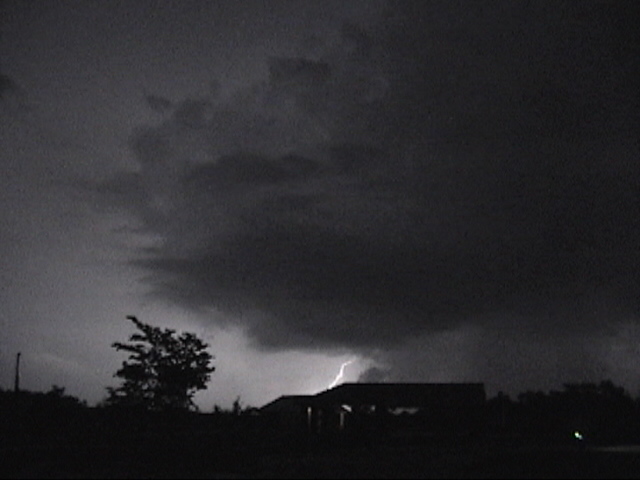
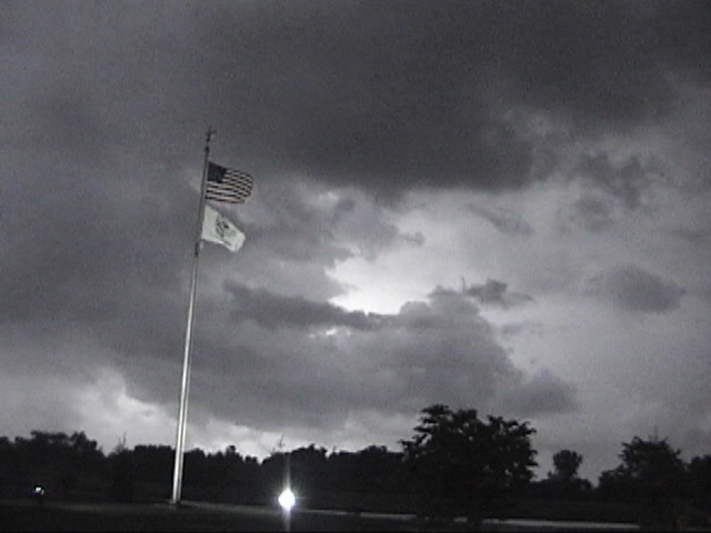
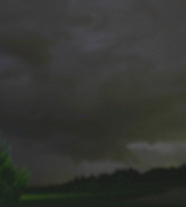
I also noticed this looking southeast from Glik Park. Unfortunately, not a good image, both underexposed and out of focus, so contrast enhanced to try to make it a little better. I saw this silouetted by the lightning for several minutes, not sure what to make of it. Not too long after this, a 77 mph gust and some wind damage were reported in Millstadt, IL, but that was far to the southwest of where this feature was located, so not the same storm.
Only one tornado was reported in the area of responsibility of the St. Louis National Weather Service, that occurring around 10:15 in Brownstown, IL, 60 miles or so ENE of the St. Louis area along Interstate 70.
Return to 2009 Storm Observation page