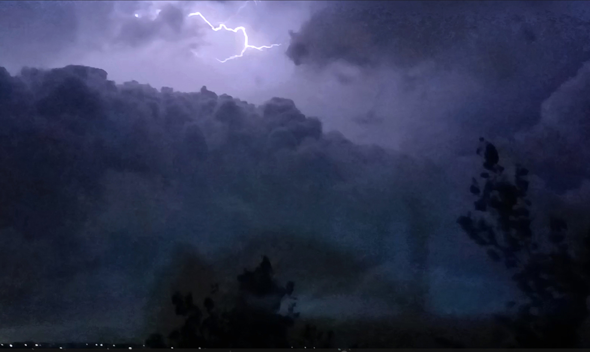
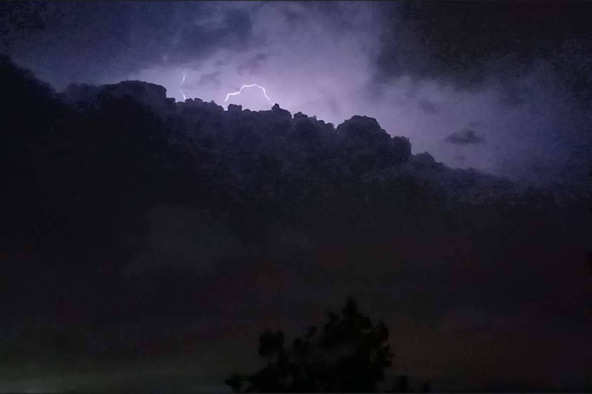
The southwestern storm, at my location, did not reach that intensity, but it did appear to me that the wind was gusting around 40-50 mph at the hotel where we were staying in the La Vista area. The heaviest precipitation core passed just north of the hotel, but we did get some rain and the wind. There were official NWS measurements of 47 mph and 40 mph in the Omaha area, probably comparable to what I witnessed. The storm had a lot of lightning, and the frequency of that increased as the storm moved over downtown Omaha and into Iowa. Here are some video captures of the lightning:
Here is a short video clip showing the lightning and wind:
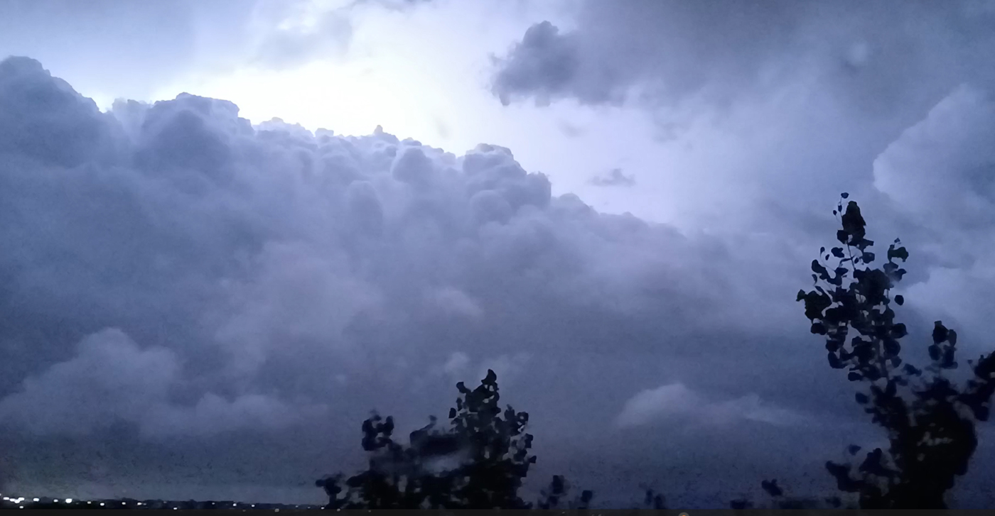
As the storm moved over downtown Omaha and into Iowa, it appeared to form a wall cloud:
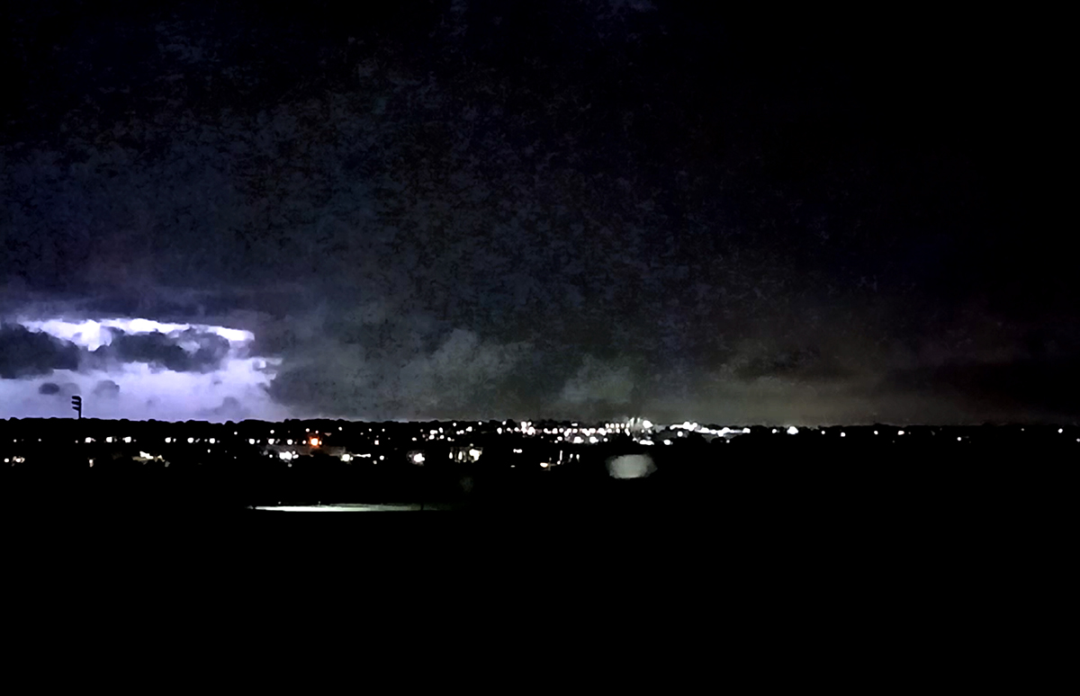
After this I went to bed, so I am not sure if this storm eventually merged with the one to its northeast, but if it did, that may have contributed to the rather long swath of severe wind and wind damage from Harlan along I-80 through the Des Moines area. The high wind occurred there shortly after 1:00 a.m., an hour and a half or so after the last of my observations.