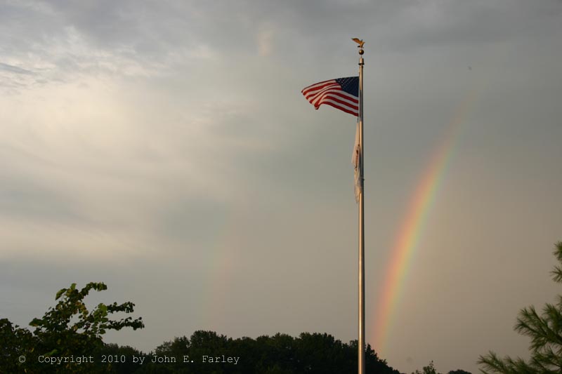
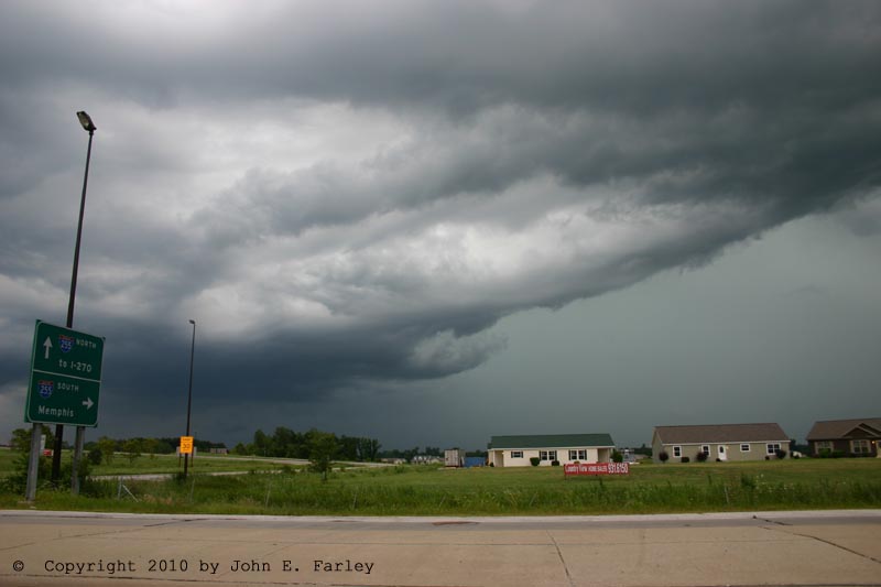
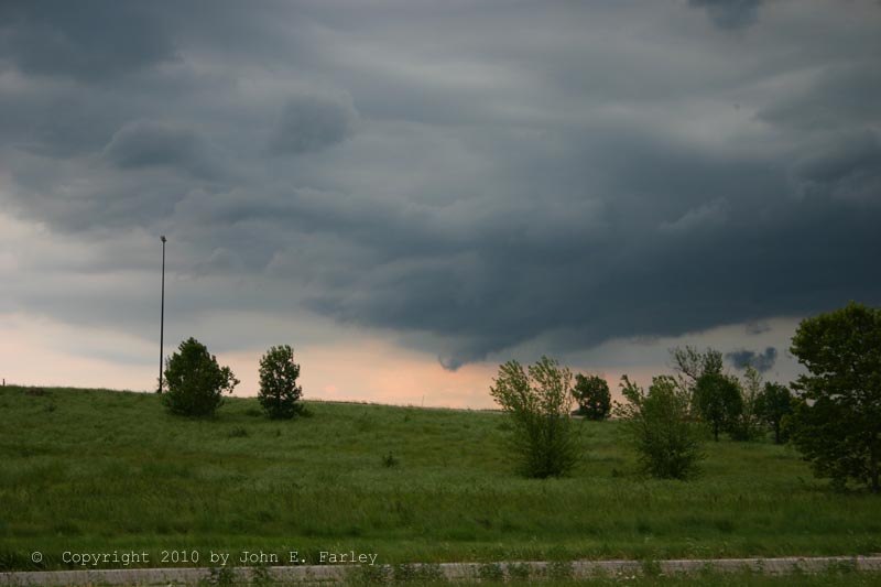
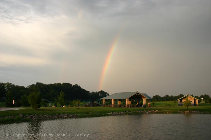
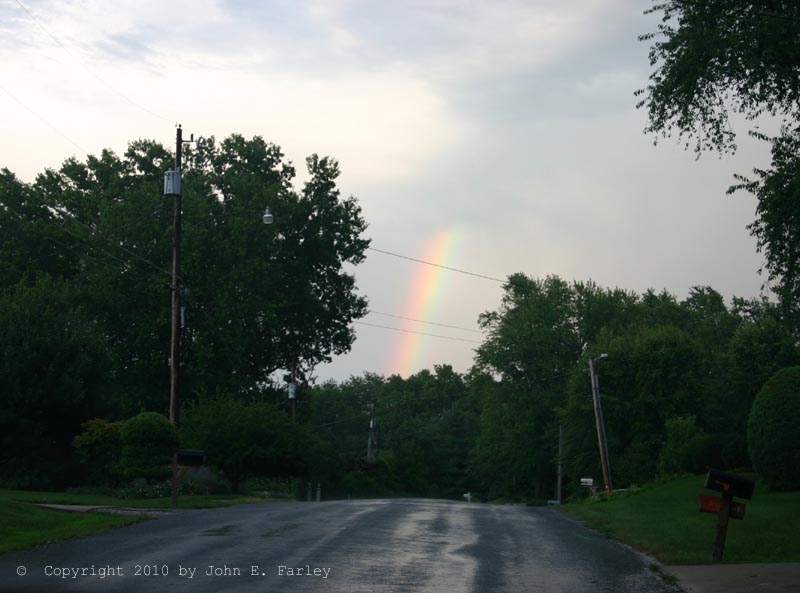
I decided to head out for a look at the storm, and was able to get a good view of the storm from the intersection of IL route 162 with I-55 just west of Glen Carbon. I observed numerous flashes of CG lightning 2 or 3 miles to my west, southwest, and south, over Granite City, East St. Louis, and Collinsville. The lightning was quite spectacular, and I tried to get video, but somehow messed up and got only a short video clip of the inside of my car. Apparently the camera was recording when I thought it was not, and not recording when I thought it was - not sure how that happened, but it's very annoying as it would have been good lightning video. Anyway, after a while, the storm began to form some small lowered areas on what turned out to be a developing shelf cloud where precipitation was starting to fall under new convection triggered by the outflow from the original storm. I tried to move closer to the storm, to the Horseshoe Lake Road exit, but as the storm began to surge north, that area was in the core by the time I got there, so I retreated back north. Since the rain was now reaching my original location, I continued on and returned to Edwardsville. The core of the storm remained southwest of there, but it did produce light to moderate rain and a lot of thunder for about an hour in Edwardsville, ending with a nice rainbow:
While I was out watching it, there were two significant weather advisories issued for the storm for 1/2 inch hail and 40 mph wind, and also an urban and small stream flood advisory. Shortly after I got home, that was upgraded to a Flash Flood Warning, as it became evident that serious flash flooding was under way. In some locations, rainfall rates exceeded 3 inches per hour!
St. Louis Post-Dispatch articles:
http://www.stltoday.com/news/local/metro/article_65064980-9581-11df-9701-0017a4a78c22.html
http://www.stltoday.com/news/local/metro/article_e1ce8272-a07a-5719-9eb3-f347d0f56ff2.html
ttp://www.stltoday.com/news/local/metro/article_35578552-9598-11df-be13-0017a4a78c22.html
A report on the storm with a radar precipitation-total image and some photos is available here.