Normally I would be on the alert for thundersnow in such a situation, but I was trying to get our taxes finished and got pretty deeply abosorbed in that, not checking tadar or the lightning tracker. So I was surprised when I heard a loud rumble of thunder and looked out the window and saw that it was snowing. So I quickly grabbed my phone and ran to the garage and took video out the garage door. There were several more rumbles as a mix of ordinary snow and graupel (snow pellets) continued to fall. Most of the rumbles were too low for the phone to pick up, but I did get this one:
Seems like the P-type was mostly ordinary snow at this time, though there may have been a little graupel mixed in as well. Then the sky began to brighten and the precipitation lightened up, so I knew the show was over. When I got back in and looked at the radar I could see the core of the storm was to the south of Pagosa, drifting toward route 84. A heavy precipitation core showed up on radar, something you don't always get in the winter here because even convective show showers are often not tall enouigh for radar to pick up at long distance (Grand Junction and Albuquerque are the closest} and over the mountains. Seeing this, along with continuing strikes south of town on the lightning detector, I decided to try to intercept the storm to get perhaps some louder thunder. I did, but may not have gone as far as I should have, in part because I needed to get to the post office before it closed. Driving through town, updraft base was very evident east and north of the storm, and as I headed down 84 toward the storm, a pronounced and very low shelf cloud was evident along its leading edge. As I entered the storm I got in to a mix of ordinary snow, graupel. and maybe even a little hail along with gusty outflow wind. But no thunder while I was taking video. I did think I saw a flash once while I was driving between two locations, but nothing while I had the camera going.
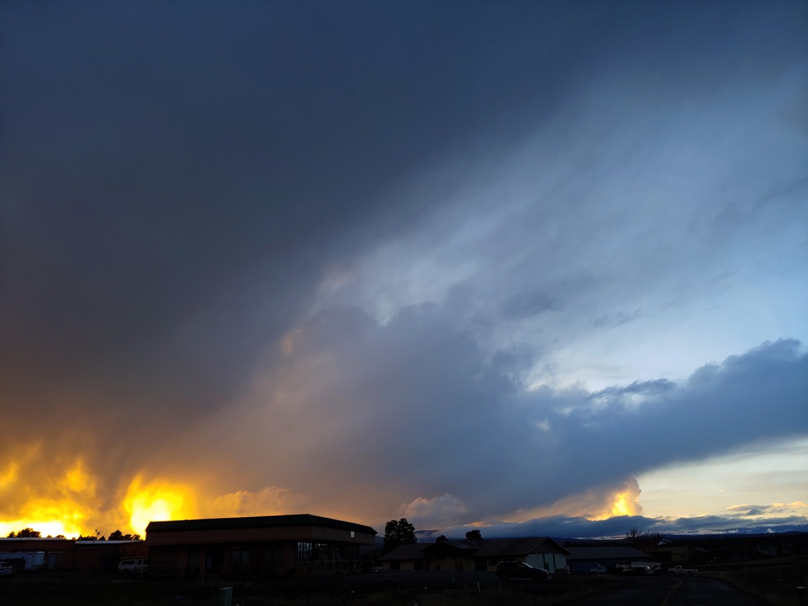
Later that evening around sunset, as my wife and I were returning home from a restaurant, the setting sun beautifully illuminated a cluster of snow showers west of town:
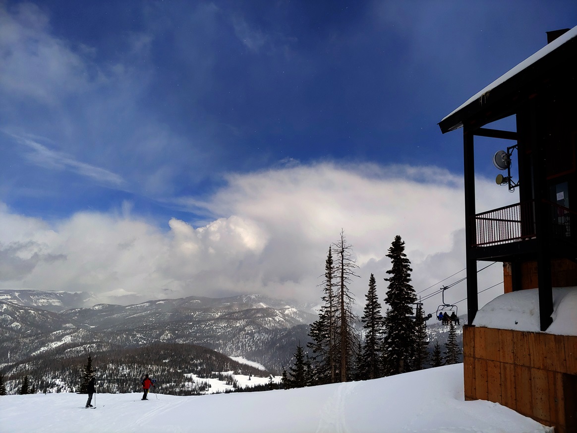
The next day, the 26th, I heard there was some early morning thunder not far from Pagosa, but we did not get any at our house. In the afternoon, another round of heavy convective show showers developed, dropping additional snow both in town and in the mountains. But no thunder. It did make for some really nice skiing in the afternoon at Wolf Creek, though.
The convective nature of the snow showers again in the 26th can be seen in this picture I took at Wolf Creek during a break between showers: