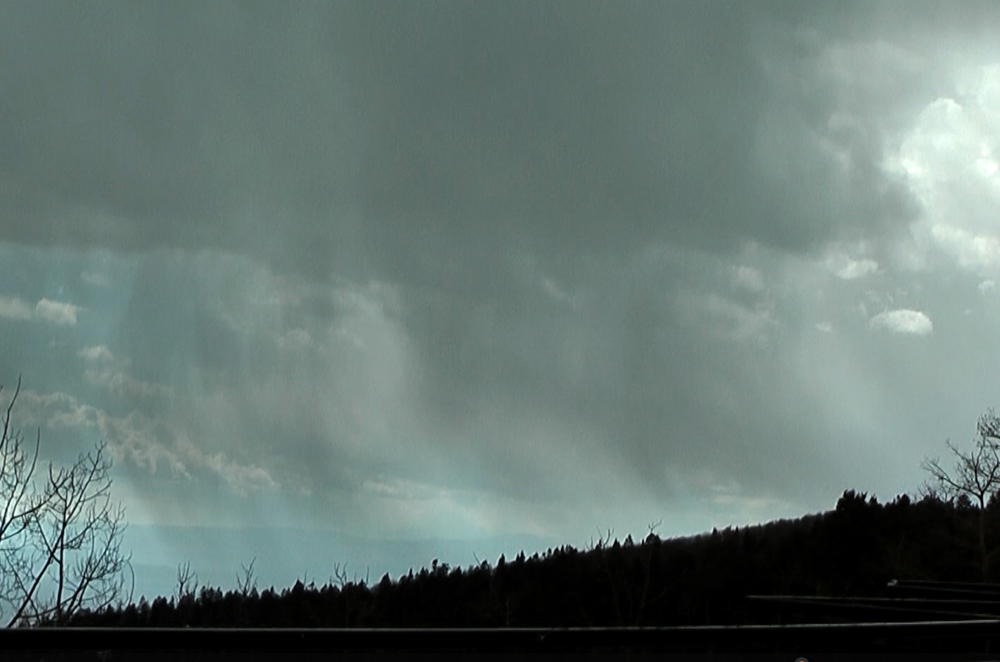
I got to the scenic overlook a half mile or so before you get the ski area around 3:30 to 3:45. There was little in the way of precipitation (maybe a few sprinkles) there, but I could see precipitation coming out of the clouds in a small area directly to my west, and darker, more precipitation-laden skies to my north.
This picture shows the precipitation coming out of the clouds looking west or WNW. Before long, I heard a rumble of thunder, then another, even though there was little or no precipitation where I was. The thunder seemed to be coming from the north or northwest. With the showers/storms moving to the SSW, I was afraid the precipitation might pass to my west, but I began to see that some precipitation was beginning to slightly obscure the mountains north of the ski area. So I moved up to the main parking lot of the ski area. There was plenty of snow on the ground at the scenic overlook, and more at the ski area. As noted earlier, around 8-10 inches of heavy wet snow remained from the 14+ inches that had fallen over the previous six days. Enough that there were plenty of places where you could get stuck at both the scenic overlook and the ski area parking lot, since only the main road had been plowed. But by driving where others had driven, I was able to avoid that.
Soon, snow pellets/graupel began to fall, mixed at times with ordinary snowflakes and also at times with a little rain. But mostly graupel/snow pellets, and at times entirely that precitation type. I started to get video, and before long, a rumble of thunder. After a short time I saw that the battery was low on my video camera - I most have forgotten to charge it after the previous chase - so I switched to my phone. It does not pick up sound quite as well, but having now goten access to a better video editor than I had used the prevous few days, I was able to bring the thunder from the phone back up to what it actually sounded like. So I got three good rumbles of thunder, during the periiod from about 3:50 to 4:10, on video. These were long, muffled-sounding rumbles of thunder, pretty typical of what occurs with thundersnow. The core of the storm passed slightly to the northwest of where I was, with lighter precipitation at my location. The thunder seemed to be coming from the core, and/or the clouds above it. Here is the edited video:
Even had I not gotten thundersnow yet again, it would have been worth the drive to see the deep snow accumulations, quite unusual for this late in the season in the southern Sangre de Cristo Mountains of NM. Here are some pictures showing how deep the snow was:
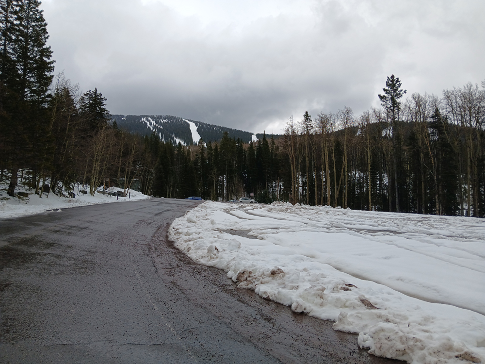
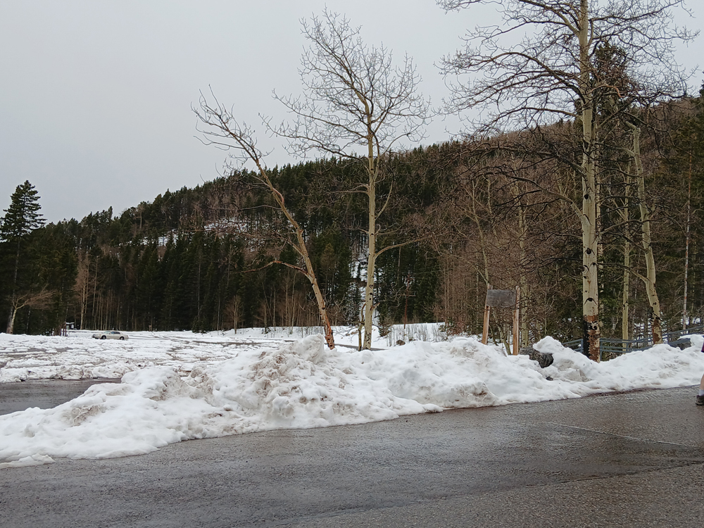
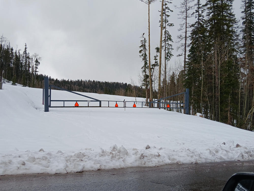
These pictures, which I took after the storm had passed, all show views from the ski area's parking lots. The first one also shows the ski runs, where people have been hiking up to ski the past several days. (The ski area has been closed for more than a month, so no lifts: you have to "earn your turns.") The third one shows the entrance to an upper parking lot - would have been tough to get in there, even if the gate had not been closed.
Return to 2024-25 Winter Weather Observation Page