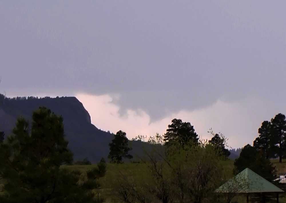
The storm was moving to the southeast or ESE. It had formed near Durango, passed just south of Bayfield, and then tracked between Chimney Rock and Arboles/Navaho Lake. Given the rotating wall cloud and possible brief funnel, it was evident that it had at least marginal supercell characteristics. After I got the picture above, I lost any view of the meso pretty quickly in part because it moved behind the mesa to its left in the picture and in part because, with the storm moving in a general southeasterly direction with me to its northeast, the precipitation core quickly obscured any decent view of the meso/wall cloud.
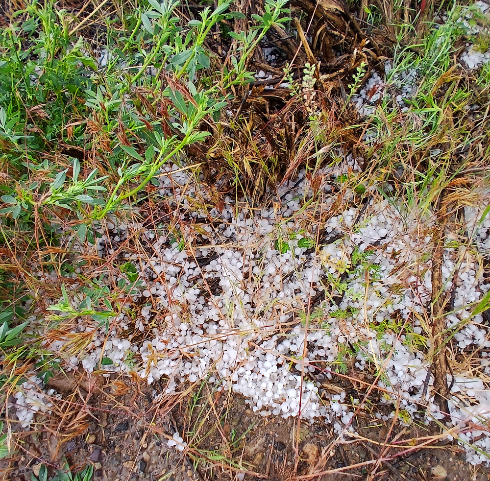
I decided to drive down toward the storm. I did not have much hope of re-gaining a good view of the area of interest, but I thought that if I could get to where the storm went through after it passed, I might find a hail swath or some wind damage. As it turned out, I found a small mud flow and rockslide that left a swath of mud and some pretty good-sized rocks on CO Route 151 between Chimney Rock and Arboles, along with a swath about a mile wide of accumulated hail in the same area. The biggest hailstones I saw were about a half inch in diameter. Here are a couple pictures of the hail accumulation:
And here are pictures of the rocks and mud on the road:
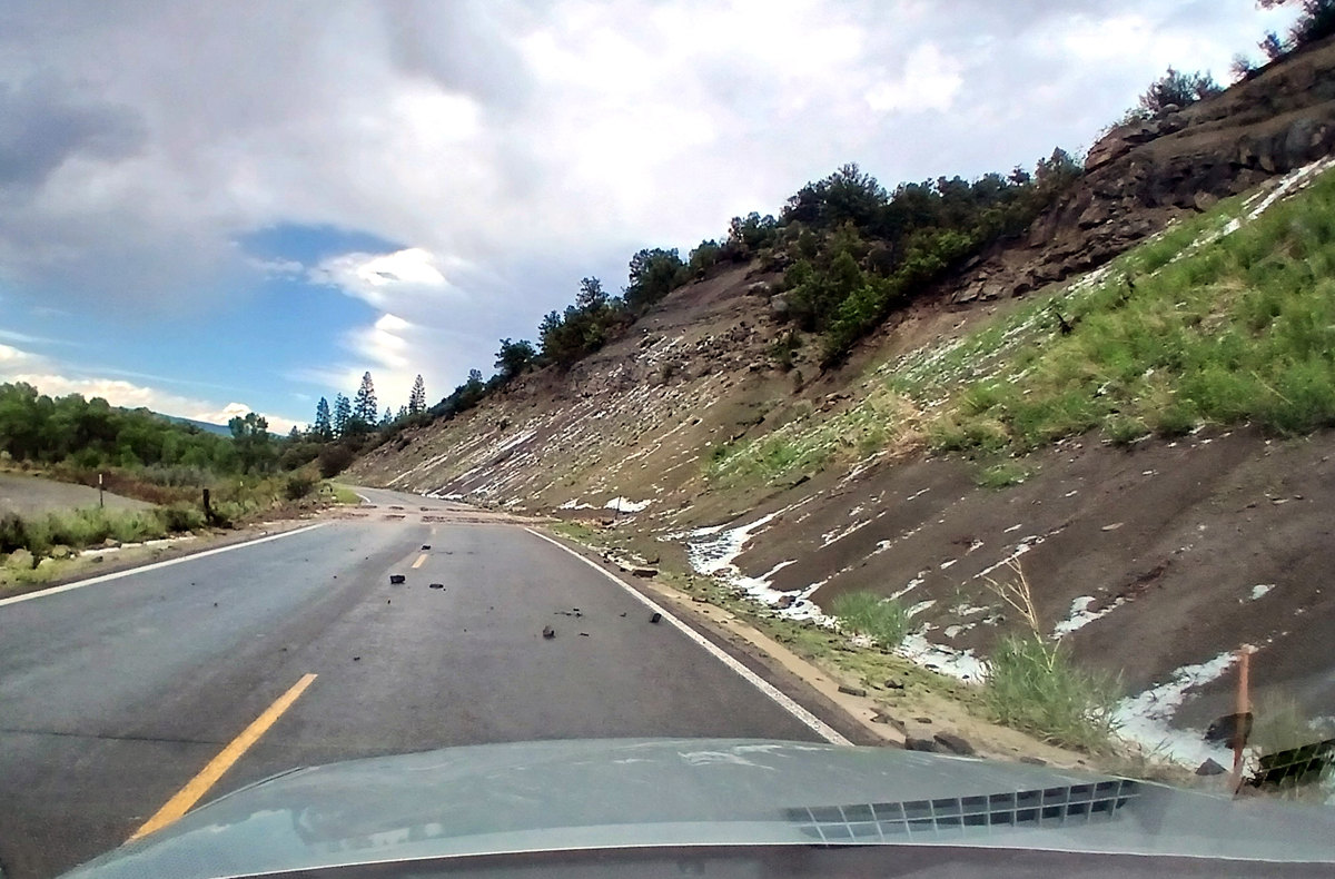
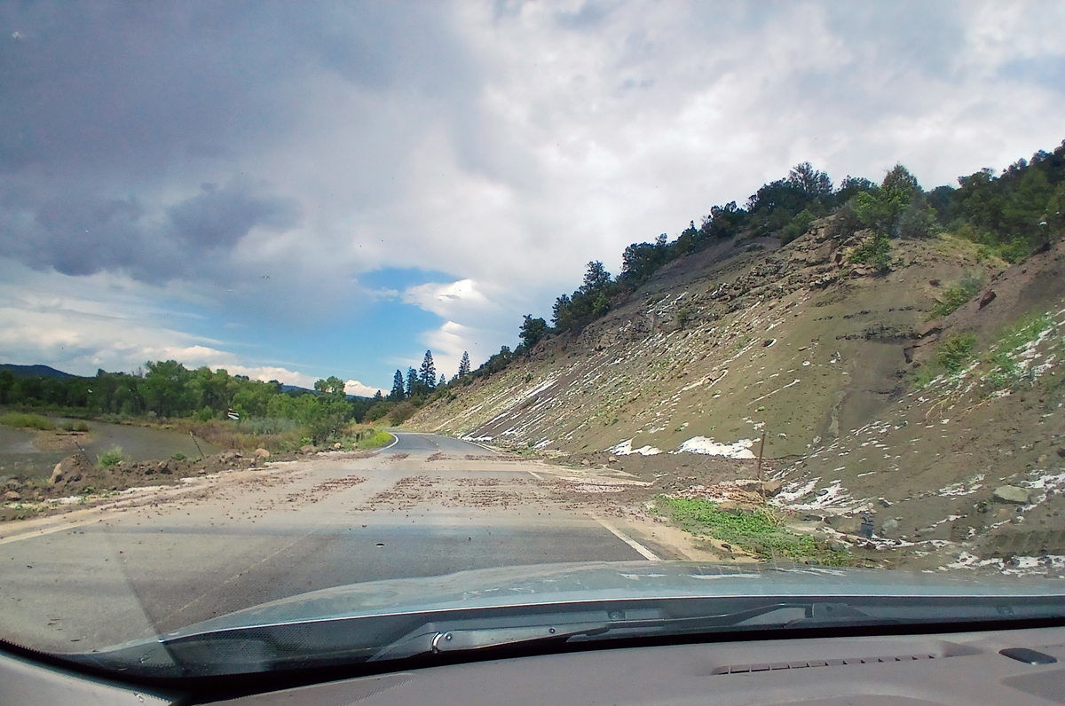
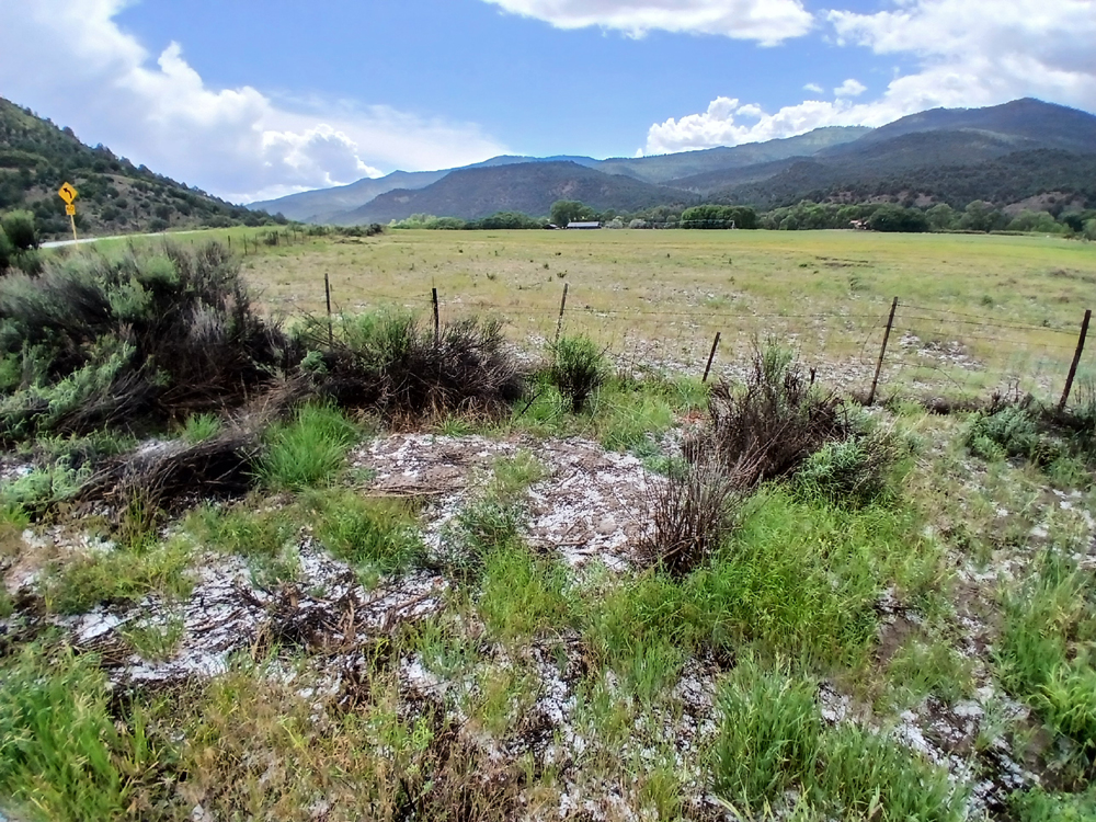
As you can see, there is also hail accumulation on the slope from which the rocks and mud came down. I saw a slide similar to this, actually coming down, once on Wolf Creek Pass - kind of scary. But this is the first one I have ever seen on a storm chase. All in all, not a bad little local chase for a day in which I was not paying much attention to the weather. This storm marked the beginning of an active weather period in Colorado, New Mexico, and states just to the east, as a cutoff upper low that had been hanging out just off southern California finally made a gradual move over several days toward and through northern New Mexico and southern Colorado.
I wanted to call in a report on this to both the NWS and to 911, so that CDOT could clear the mud and rocks off the road. There was no cell signal where the slide occurred, but I thought I might be able to get one near Chimney Rock National Monument. No such luck, at least with ATT. I had to go all the way back to Aspen Springs, just a few miles out from the western edge of Pagosa, before I could get a usable signal. When I did, the 911 operator indicated they would notify CDOT, and the NWS thanked me for the report and said they had had their eyes on that storm. When I got home I looked at NWS text products and sure enough, that storm had received three special weather statements. These statements, issued at 1:30, 1:45, and 2:02 p.m., mentioned the possibilty of penny to nickel-sized hail and 40 mph wind. I did not see any hail quite that size, but of course I was on the scene a while after the hail fell (probably at least 45 minutes) and there certainly have been sone larger ones away from the road. All in all, an enjoyable local chase, with only around 60 miles of total chase distance.