 Supercell Gallery, Page 2 Supercell Gallery, Page 2
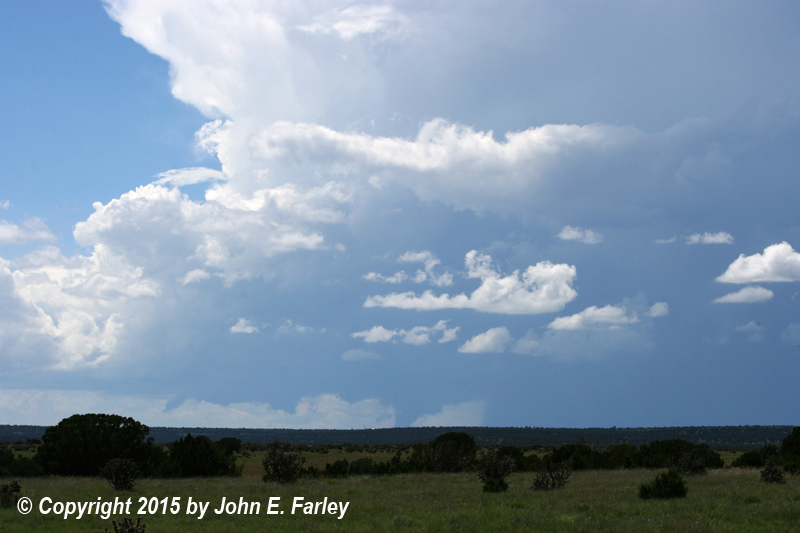
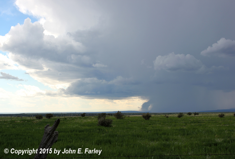
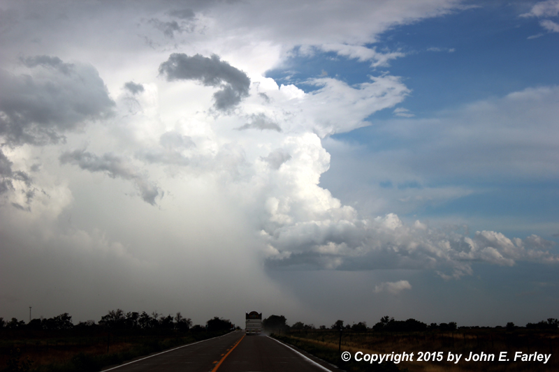
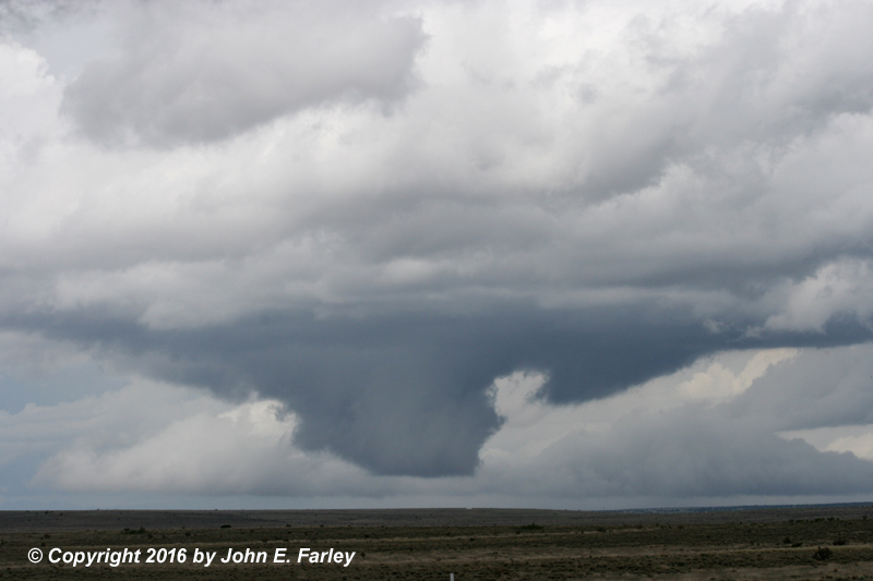
Several impressive supercells formed in eastern New Mexico this day. One, shown in the first two pictures above, formed north of Wagon Mound, NM and moved southeast, producing deep accumulations of hail up to 1.5" in diameter. The lowerings that appear in the first two pictures looked, from a distance, like they could have been tornadoes, but they were not. Rather, they were condensation being drawn back into the cloud as intense microtursts cooled the air at the edge of the storm. Another formed farther southeast, not far from Las Vegas, and moved very little, eventually offering me the view shown in the third picture above.
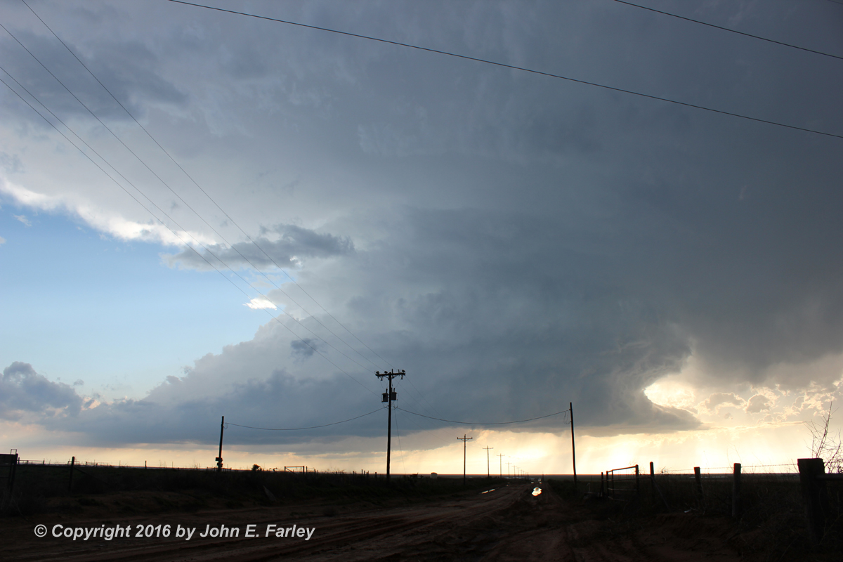
The first picture shows a supercell just to my northwest near Simla, CO. It had produced a tornado earlier, which I managed to miss. The second picture shows another supercell just south of Rocky Ford. A small funnel was just barely visible for a short time above the wrapping rain.

This storm was the first in a series of spectacular LP supercells that I was able to document in May, 2016. This one dropped 1-inch hail near Stanley, NM.
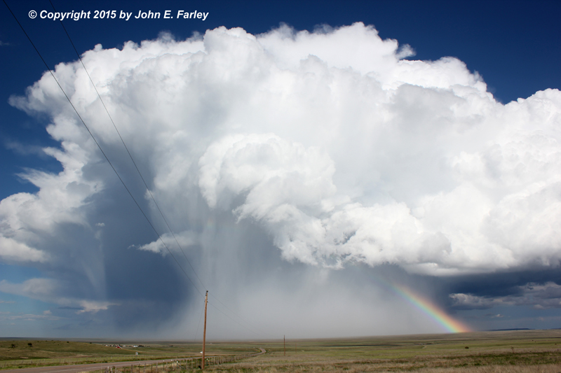
The very next day after the Clines Corners LP supercell, I got another spectacular one near Channing, TX. This one was deceptive, dropping golfball and larger hail without the appearance of having much precipitation. It eventually transitioned to more of a classic supercell and dropped even larger hail, up to 3" in diameter.
Near Bernardo, NM, June 3, 2018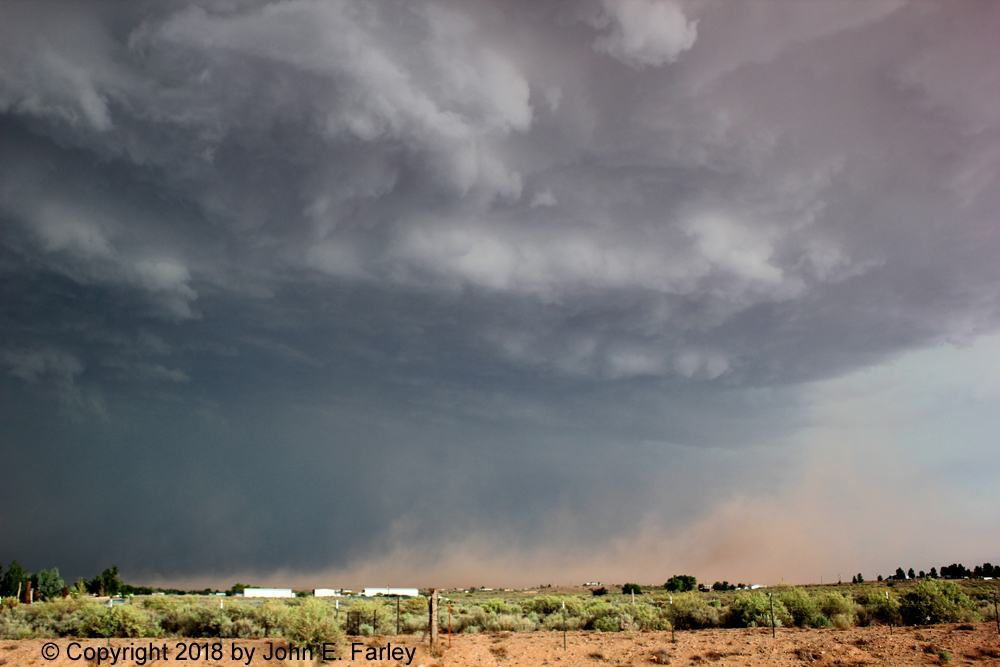
This supercell produced not only this dust storm from its intense outflow wind, but also widespread large hail, numerous gustnadoes, and eventually a tornado.
High-Precipitation (HP) supercell, seen looking west from Rio Rancho, NM, October 4, 2017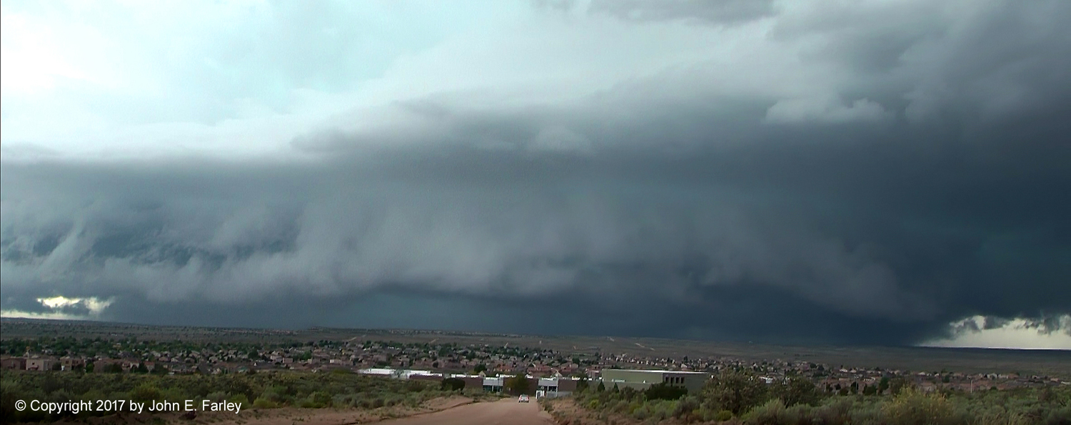
This storm caused major damage from flash flooding on the Acoma Pueblo.
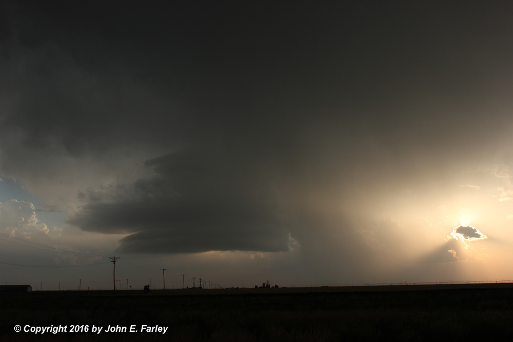
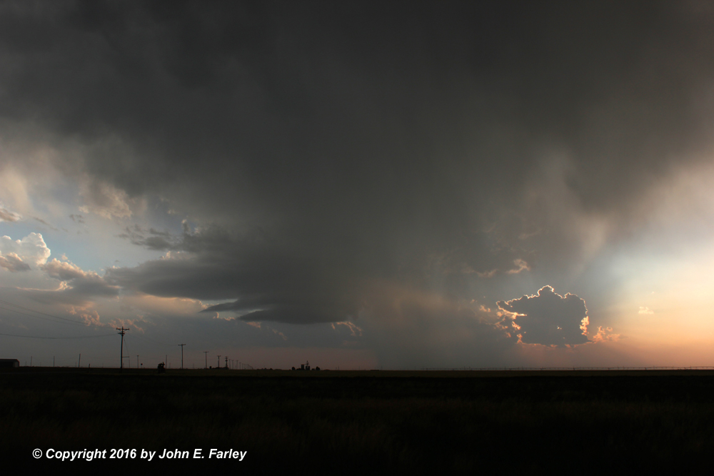
This LP supercell produced large hail near Simms, TX, southwest of Amarillo. It was producing 1-inch hail at the time of the first picture above, which increased to golfball by the time of the second picture. The storm was weakening by the time of the third picture, but offered up a nice storm-chaser sunset.


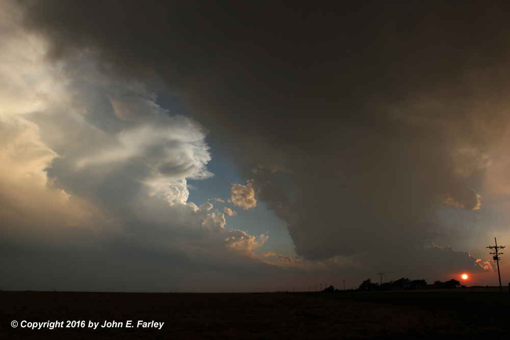
For the fourth time in 8 days, I document a pretty LP supercell, this one northwest of Memphis, TX. Once again, altough it looked more pretty than menacing, it nonetheless managed to drop golfball-sized hail.


Later the same day, this very slow-moving and rightward-moving supercell formed near Turkey, TX. Looked like it was about to produce a tornado at the time of the first picture, but it did not happen then. The storm did eventually produce a large tornado after dark.
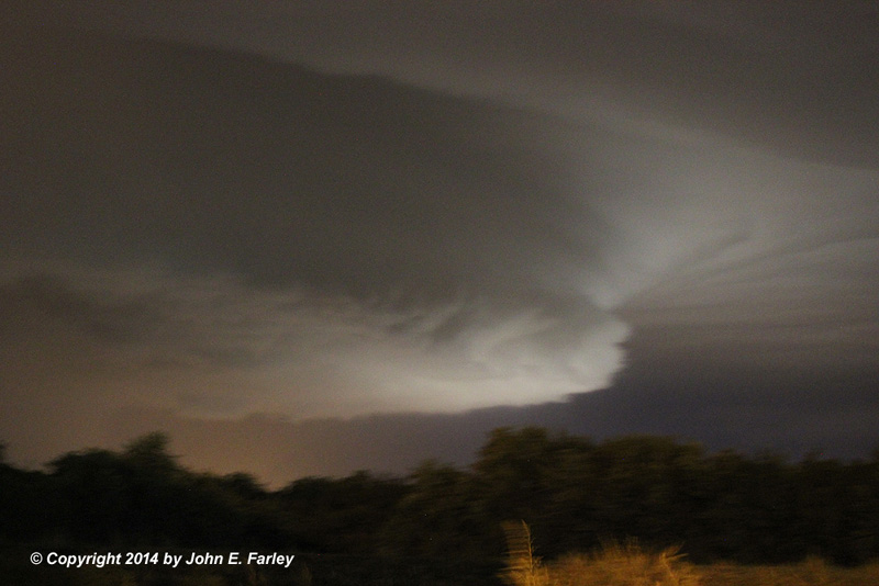
Sorry the picture is a little shaky - there was too much nearby CG lightning for anything but quick hand-held photography - but you definitely get the idea. One of the most visually-impressive supercells I have ever seen in Illinois!
This page last updated August 12, 2019.