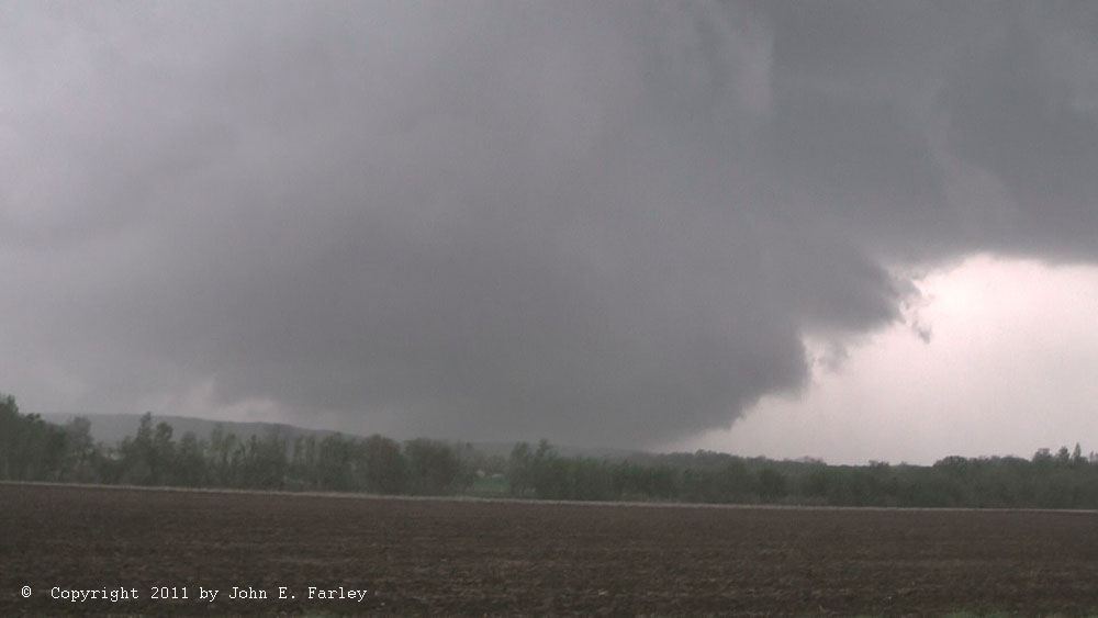
I now have so many supercell pictures that I have divided the supercell gallery into three Web pages!

Supercells 2019 to present
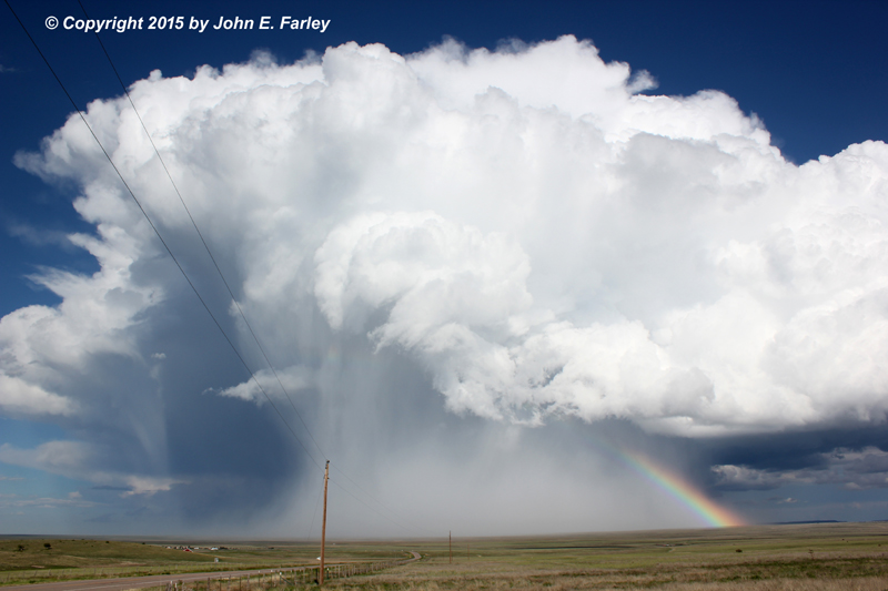
Supercells from September, 2014 through 2018
Supercells up to June, 2014
Return to Stormy Skies Photo Galleries Main Page